Tingi-Tingi Airport | |||||||||||
|---|---|---|---|---|---|---|---|---|---|---|---|
| Summary | |||||||||||
| Airport type | Public | ||||||||||
| Serves | Tingi-Tingi, Lubutu | ||||||||||
| Elevation AMSL | 1,862 ft / 568 m | ||||||||||
| Coordinates | 0°47′27″S 26°38′37″E / 0.79083°S 26.64361°E | ||||||||||
| Map | |||||||||||
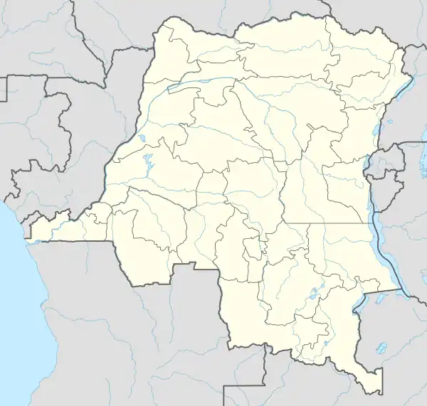
 FZOB Location of the airport in Democratic Republic of the Congo | |||||||||||
| Runways | |||||||||||
| |||||||||||
Sources: Google Maps[1] | |||||||||||
Tingi-Tingi Airport (ICAO: FZOB) is a highway strip airport serving the village of Tingi-Tingi in Lubutu Territory, Maniema Province, Democratic Republic of the Congo.
The runway is a widened and paved section of the N3 road, 5 kilometres (3.1 mi) southeast of the village. Some runway markings are visible.[1]
See also
References
External links
This article is issued from Wikipedia. The text is licensed under Creative Commons - Attribution - Sharealike. Additional terms may apply for the media files.