Tiwaripur | |
|---|---|
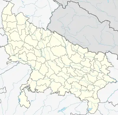 Tiwaripur Location in Jaunpur, Uttar Pradesh, India  Tiwaripur Tiwaripur (India) | |
| Coordinates: 25°35′18″N 83°03′23″E / 25.588397°N 83.056273°E | |
| Country | |
| State | Uttar Pradesh |
| District | Jaunpur |
| Tehsil | Kerakat |
| Block | Dobhi |
| Gram Panchayat | Bisauri |
| Government | |
| • Type | Gram Panchayat/ Vidhan Sabha |
| • Body | Gram Pradhan |
| Area | |
| • Total | 0.44 km2 (0.17 sq mi) |
| Elevation | 77 m (253 ft) |
| Population (2011) | |
| • Total | 529 |
| • Density | 1,200/km2 (3,100/sq mi) |
| Languages | |
| • Official | Hindi |
| • Other | Bhojpuri (Jaunpuri dialect), English |
| • Literacy Rate | 69.1% |
| Time zone | UTC+5:30 (IST) |
| PIN | 222129 |
| Vehicle registration | UP-62 |
| Sex ratio | 236/293 ♂/♀ |
| Distance from Varanasi | 41 kilometres (25 mi) |
| Distance from Jaunpur | 47 kilometres (29 mi) |
| Distance from Ghazipur | 57 kilometres (35 mi) |
| Distance from Azamgarh | 71 kilometres (44 mi) |
| Lok Sabha constituency | Machhlishahr (Lok Sabha constituency) |
| Website | http://jaunpur.nic.in/ |
Tiwaripur is situated in Kerakat tehsil, Jaunpur district, Uttar Pradesh, India. It is one of 425 villages in the tehsil[1] and forms a part of Bisauri gram panchayat.
References
- ↑ "Census of India 2011: Data from the 2011 Census, including cities, villages and towns (Provisional)". Census Commission of India. Archived from the original on 16 June 2004. Retrieved 1 November 2008.
This article is issued from Wikipedia. The text is licensed under Creative Commons - Attribution - Sharealike. Additional terms may apply for the media files.