Tiyari is a village located in Ghazipur District of Uttar Pradesh, India.[1][2][3][4]
Tiyari | |
|---|---|
Village | |
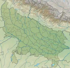 Tiyari Location in Uttar Pradesh, India | |
| Coordinates: 25°23′14″N 83°37′21″E / 25.38734°N 83.62263°E | |
| Country | |
| State | Uttar Pradesh |
| District | Ghazipur |
| Inhabited | 1790 |
| Government | |
| • Type | Panchayati Raj (India) |
| • Body | Gram Pradhan |
| Area | |
| • Total | 681.96 ha (1,685.15986 acres) |
| Elevation | 70 m (230 ft) |
| Population (2011) | |
| • Total | 5,366 |
| • Density | 790/km2 (2,000/sq mi) |
| Languages | |
| • Official | Hindi, Urdu |
| Time zone | UTC+5:30 (IST) |
| PIN | 232326 |
| Telephone code | 05497 |
| Vehicle registration | UP 61 |
Demographic
References
This article is issued from Wikipedia. The text is licensed under Creative Commons - Attribution - Sharealike. Additional terms may apply for the media files.