Teniente FAP Jaime Montreuil Morales Airport | |||||||||||
|---|---|---|---|---|---|---|---|---|---|---|---|
| Summary | |||||||||||
| Airport type | Public | ||||||||||
| Operator | CORPAC S.A. | ||||||||||
| Location | Chimbote | ||||||||||
| Elevation AMSL | 69 ft / 21 m | ||||||||||
| Coordinates | 9°09′00″S 78°31′25″W / 9.15000°S 78.52361°W | ||||||||||
| Map | |||||||||||
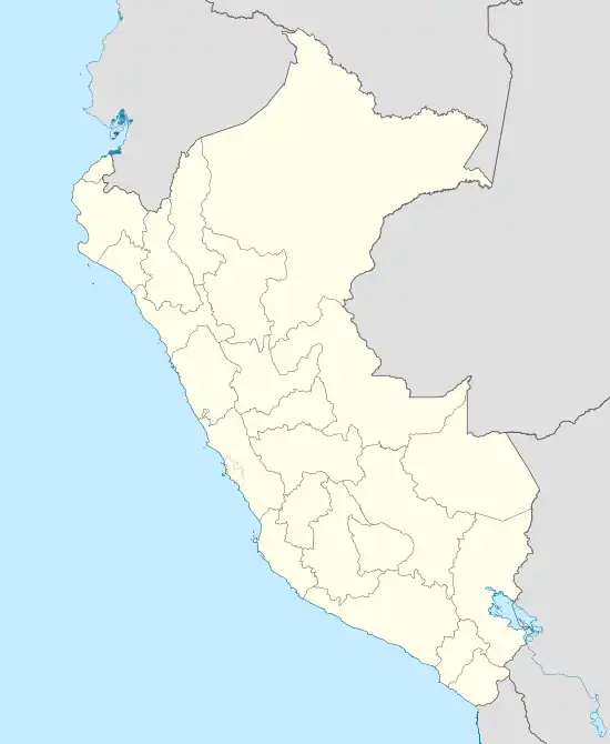
 CHM Location of the airport in Peru | |||||||||||
| Runways | |||||||||||
| |||||||||||
Sources: GCM[1] | |||||||||||
Teniente FAP Jaime Montreuil Morales Airport (IATA: CHM, ICAO: SPEO) is an airport serving Chimbote, in the Ancash Region of Peru. It is operated by the civil government and handles many government planes.
Airlines and destinations
As of December 2022, there are no regularly scheduled passenger flights.[2][3]
Former Destinations
| Airlines | Destinations |
|---|---|
| ATSA Airlines | Lima |
See also
References
- ↑ Airport information for Jaime Montreuil Morales Airport at Great Circle Mapper.
- ↑ "KAYAK". www.kayak.com. Archived from the original on December 11, 2022. Retrieved 20 May 2023.
- ↑ "Google Travel". www.google.com. Retrieved 2022-12-11.
External links
- SkyVector Aeronautical Charts
- OurAirports - Chimbote
- Accident history for Chimbote Airport at Aviation Safety Network
This article is issued from Wikipedia. The text is licensed under Creative Commons - Attribution - Sharealike. Additional terms may apply for the media files.