Tokoroa Aerodrome | |||||||||||||||
|---|---|---|---|---|---|---|---|---|---|---|---|---|---|---|---|
| Summary | |||||||||||||||
| Airport type | Public use | ||||||||||||||
| Operator | South Waikato District Council | ||||||||||||||
| Location | Tokoroa, New Zealand | ||||||||||||||
| Elevation AMSL | 1,221 ft / 372 m | ||||||||||||||
| Coordinates | 38°14′12″S 175°53′34″E / 38.23667°S 175.89278°E | ||||||||||||||
| Map | |||||||||||||||
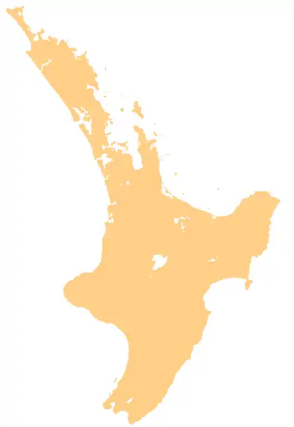 NZTO Location of aerodrome in Waikato | |||||||||||||||
| Runways | |||||||||||||||
| |||||||||||||||
Tokoroa Aerodrome (IATA: TKZ, ICAO: NZTO) is a public aerodrome owned by the South Waikato District Council and is located one nautical mile east-southeast of Tokoroa township in the Waikato region of New Zealand.
The airfield plays home to the Tokoroa and Districts Aero Club Inc. and a keen community of RC model aircraft flyers.
See also
References
This article is issued from Wikipedia. The text is licensed under Creative Commons - Attribution - Sharealike. Additional terms may apply for the media files.