| Tremont Melbourne, Victoria | |||||||||||||||
|---|---|---|---|---|---|---|---|---|---|---|---|---|---|---|---|
 Tremont | |||||||||||||||
| Coordinates | 37°52′48″S 145°19′26″E / 37.880°S 145.324°E | ||||||||||||||
| Population | 69 (2021 census)[1] | ||||||||||||||
| • Density | 13.8/km2 (36/sq mi) | ||||||||||||||
| Postcode(s) | 3785 | ||||||||||||||
| Elevation | 491 m (1,611 ft) | ||||||||||||||
| Area | 5 km2 (1.9 sq mi) | ||||||||||||||
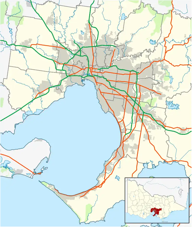
| Location | |||||||||||||||
| LGA(s) | Shire of Yarra Ranges | ||||||||||||||
| State electorate(s) | Monbulk | ||||||||||||||
| Federal division(s) | Casey | ||||||||||||||
| |||||||||||||||
Tremont is a suburb in Melbourne, Victoria, Australia, 31 km east of Melbourne's central business district, located within the Shire of Yarra Ranges local government area. Tremont recorded a population of 69 at the 2021 census.[1]
Almost the entire suburban area is within the Dandenong Ranges National Park.
The Post Office opened on 16 July 1913, was known as Dunstan's until 1919, and closed in 1977.[2]
Tremont was affected by the Dandenong Ranges fire of 22 January 1997.
References
- 1 2 Australian Bureau of Statistics (28 June 2022). "Tremont (Suburbs and Localities)". 2021 Census QuickStats. Retrieved 9 July 2022.
- ↑ Phoenix Auctions History, Post Office List, retrieved 24 March 2021

This article is issued from Wikipedia. The text is licensed under Creative Commons - Attribution - Sharealike. Additional terms may apply for the media files.