Tuweep, Arizona | |
|---|---|
 Tuweep  Tuweep | |
| Coordinates: 36°24′57″N 113°04′00″W / 36.41583°N 113.06667°W | |
| Country | United States |
| State | Arizona |
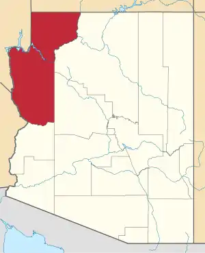
| County | Mohave |
| Elevation | 5,180 ft (1,580 m) |
| Time zone | UTC-7 (Mountain (MST)) |
| • Summer (DST) | UTC-7 (MST) |
| Area code | 928 |
| FIPS code | 04-77650 |
| GNIS feature ID | 25313 |
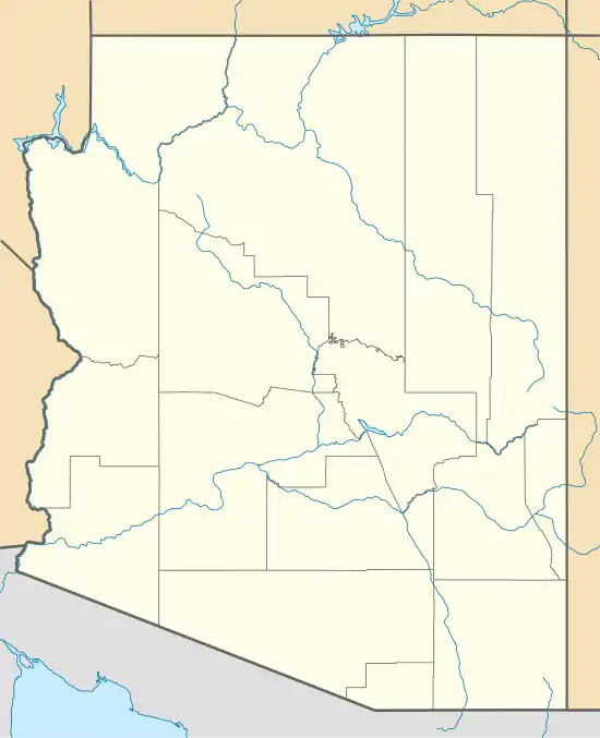
Tuweep is a ghost town in Mohave County, Arizona, United States. It has an estimated elevation of 5,180 feet (1,580 m) above sea level.[1]
References
External links
 Media related to Tuweep, Arizona at Wikimedia Commons
 Ghost towns travel guide from Wikivoyage
This article is issued from Wikipedia. The text is licensed under Creative Commons - Attribution - Sharealike. Additional terms may apply for the media files.