Ullånger | |
|---|---|
 Ullånger Church | |
 Ullånger 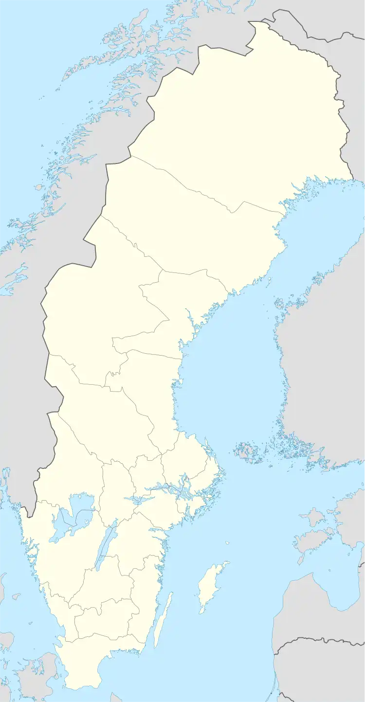 Ullånger | |
| Coordinates: 63°01′N 18°11′E / 63.017°N 18.183°E | |
| Country | Sweden |
| Province | Ångermanland |
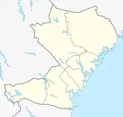
| County | Västernorrland County |
| Municipality | Kramfors Municipality |
| Area | |
| • Total | 0.98 km2 (0.38 sq mi) |
| Population (31 December 2010)[1] | |
| • Total | 626 |
| • Density | 640/km2 (1,700/sq mi) |
| Time zone | UTC+1 (CET) |
| • Summer (DST) | UTC+2 (CEST) |
| Climate | Dfb |
Ullånger (Swedish pronunciation: [ɵˈlɔ̌ŋːɛr, ˈɵ̂ˌlːɔŋːɛr])[2] is a locality situated in Kramfors Municipality, Västernorrland County, Sweden with 626 inhabitants in 2010.[1]
References
- 1 2 3 "Tätorternas landareal, folkmängd och invånare per km2 2005 och 2010" (in Swedish). Statistics Sweden. 14 December 2011. Archived from the original on 27 January 2012. Retrieved 10 January 2012.
- ↑ Jöran Sahlgren; Gösta Bergman (1979). Svenska ortnamn med uttalsuppgifter (in Swedish). p. 26.
This article is issued from Wikipedia. The text is licensed under Creative Commons - Attribution - Sharealike. Additional terms may apply for the media files.