| Upton | |
|---|---|
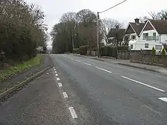 Romsey Road, Upton | |
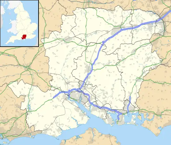 Upton Location within Hampshire | |
| OS grid reference | SU372169 |
| Civil parish |
|
| District | |
| Shire county | |
| Region | |
| Country | England |
| Sovereign state | United Kingdom |
| Post town | Southampton |
| Postcode district | SO16 |
| Dialling code | 023 |
| Police | Hampshire and Isle of Wight |
| Fire | Hampshire and Isle of Wight |
| Ambulance | South Central |
| UK Parliament | |
Upton is a hamlet in Hampshire, England, located approximately 1 mile north of Nursling.
It lies beside the main Romsey Road (A3057) leading north from Shirley as it rises over Horns Hill.[1] In the 19th century the hamlet consisted of one or two cottages and a smithy, as well as country house known as Upton House.[1] The housing development of Upton Crescent was built in the 1930s on the site of the former Upton House.[2] The hamlet is near the starting point of the M271 motorway.[3]
References
This article is issued from Wikipedia. The text is licensed under Creative Commons - Attribution - Sharealike. Additional terms may apply for the media files.