Vair-sur-Loire | |
|---|---|
 The town hall of Saint-Herblon | |
Location of Vair-sur-Loire | |
 Vair-sur-Loire 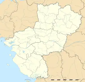 Vair-sur-Loire | |
| Coordinates: 47°24′25″N 1°05′42″W / 47.407°N 1.095°W | |
| Country | France |
| Region | Pays de la Loire |
| Department | Loire-Atlantique |
| Arrondissement | Châteaubriant-Ancenis |
| Canton | Ancenis-Saint-Géréon |
| Government | |
| • Mayor (2020–2026) | Eric Lucas (procès en cours)[1] |
| Area 1 | 51.73 km2 (19.97 sq mi) |
| Population | 4,828 |
| • Density | 93/km2 (240/sq mi) |
| Time zone | UTC+01:00 (CET) |
| • Summer (DST) | UTC+02:00 (CEST) |
| INSEE/Postal code | 44163 /44150 |
| 1 French Land Register data, which excludes lakes, ponds, glaciers > 1 km2 (0.386 sq mi or 247 acres) and river estuaries. | |
Vair-sur-Loire (French pronunciation: [vɛʁ syʁ lwaʁ] ⓘ, literally Vair on Loire; Breton: Gwer-Liger) is a commune in the department of Loire-Atlantique, western France. The municipality was established on 1 January 2016 by merger of the former communes of Saint-Herblon and Anetz.[3]
Population
| Year | Pop. | ±% p.a. |
|---|---|---|
| 1968 | 2,131 | — |
| 1975 | 2,568 | +2.70% |
| 1982 | 3,056 | +2.52% |
| 1990 | 3,206 | +0.60% |
| 1999 | 3,209 | +0.01% |
| 2007 | 3,840 | +2.27% |
| 2012 | 4,440 | +2.95% |
| 2017 | 4,671 | +1.02% |
| Source: INSEE[4] | ||
See also
References
Wikimedia Commons has media related to Vair-sur-Loire.
- ↑ "Répertoire national des élus: les maires". data.gouv.fr, Plateforme ouverte des données publiques françaises (in French). 2 December 2020.
- ↑ "Populations légales 2021". The National Institute of Statistics and Economic Studies. 28 December 2023.
- ↑ Arrêté préfectoral 29 October 2015 (in French)
- ↑ Population en historique depuis 1968, INSEE
This article is issued from Wikipedia. The text is licensed under Creative Commons - Attribution - Sharealike. Additional terms may apply for the media files.