Voorst | |
|---|---|
 Farm in Voorst | |
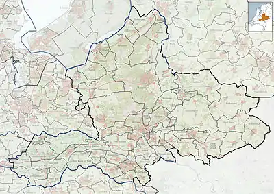 Voorst Location in the Netherlands 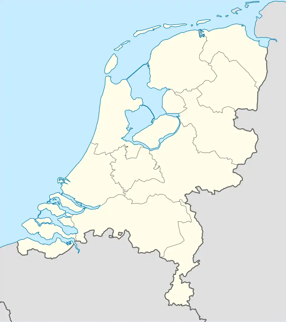 Voorst Voorst (Netherlands) | |
| Coordinates: 51°52′36″N 6°24′52″E / 51.87667°N 6.41444°E | |
| Country | Netherlands |
| Province | Gelderland |
| Municipality | Oude IJsselstreek |
| Area | |
| • Total | 7.74 km2 (2.99 sq mi) |
| Elevation | 17 m (56 ft) |
| Population (2021)[1] | |
| • Total | 315 |
| • Density | 41/km2 (110/sq mi) |
| Time zone | UTC+1 (CET) |
| • Summer (DST) | UTC+2 (CEST) |
| Postal code | 7083[1] |
| Dialing code | 0315 |
Voorst is a village in the Dutch province of Gelderland. It is located in the municipality of Oude IJsselstreek, about 3 km east of the town of Gendringen.[3]
It was first mentioned in 1329 as Forsto, and is the name of a manor house.[4]
References
- 1 2 3 "Kerncijfers wijken en buurten 2021". Central Bureau of Statistics. Retrieved 24 March 2022.
- ↑ "Postcodetool for 7083AA". Actueel Hoogtebestand Nederland (in Dutch). Het Waterschapshuis. Retrieved 24 March 2022.
- ↑ ANWB Topografische Atlas Nederland, Topografische Dienst and ANWB, 2005.
- ↑ "Voorst - (geografische naam)". Etymologiebank (in Dutch). Retrieved 24 March 2022.
This article is issued from Wikipedia. The text is licensed under Creative Commons - Attribution - Sharealike. Additional terms may apply for the media files.