| Wadi Ghan Dam | |
|---|---|
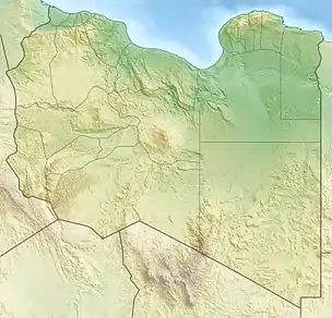 Location of Wadi Ghan Dam in Libya | |
| Country | Libya |
| Location | Gharyan |
| Coordinates | 32°14′39″N 13°08′09″E / 32.24417°N 13.13583°E |
| Status | Operational |
| Opening date | 1982 |
| Dam and spillways | |
| Impounds | Wadi Al-Hira |
| Height | 85 m (279 ft) |
| Length | 325 m (1,066 ft) |
| Reservoir | |
| Total capacity | 30,000,000 m3 (24,321 acre⋅ft)[1] |
The Wadi Ghan Dam is a rock-fill embankment dam located on Wadi Al-Hira, 14 km (9 mi) northeast of Gharyan in the Jabal al Gharbi District of Libya. Completed in 1982, the primary purpose of the dam is water supply for irrigation.[2][3]
References
- ↑ "Water profile of Libya". Encyclopedia of Earth. Retrieved 20 August 2011.
- ↑ "Wadi Ghan Dam, Libya". Continental Construction Corp. Retrieved 20 August 2011.
- ↑ "African Dam Factsheet". UN FAO. Retrieved 27 August 2011.
This article is issued from Wikipedia. The text is licensed under Creative Commons - Attribution - Sharealike. Additional terms may apply for the media files.