| Wadshelf | |
|---|---|
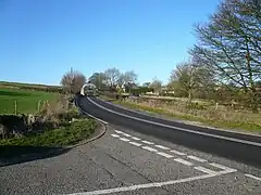 Junction of Hallcliff Lane and Baslow Road, Wadshelf. | |
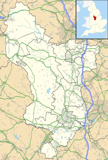 Wadshelf Location within Derbyshire | |
| OS grid reference | SK315707 |
| Civil parish | |
| District | |
| Shire county | |
| Region | |
| Country | England |
| Sovereign state | United Kingdom |
| Post town | CHESTERFIELD |
| Postcode district | S42 |
| Police | Derbyshire |
| Fire | Derbyshire |
| Ambulance | East Midlands |
Wadshelf is a small village in Derbyshire, England.[1] It is located between Chesterfield and Baslow, just inside the Peak District national park. It is near to Wigley, Holymoorside, and Brampton. The name is believed to be a corruption of Watch Hill. The village has a pub, The Highwayman on the main A619 road. Wadshelf is in the civil parish of Brampton.[2]
References
- ↑ Ordnance Survey: Landranger map sheet 119 Buxton & Matlock (Chesterfield, Bakewell & Dove Dale) (Map). Ordnance Survey. 2012. ISBN 9780319231890.
- ↑ "Ordnance Survey Election Maps". www.ordnancesurvey.co.uk. Ordnance Survey. Retrieved 3 April 2016.
External links
![]() Media related to Wadshelf at Wikimedia Commons
Media related to Wadshelf at Wikimedia Commons
This article is issued from Wikipedia. The text is licensed under Creative Commons - Attribution - Sharealike. Additional terms may apply for the media files.