Wahrenberg | |
|---|---|
 Coat of arms | |
Location of Wahrenberg | |
 Wahrenberg 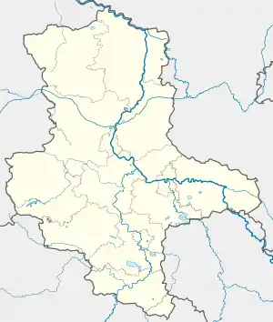 Wahrenberg | |
| Coordinates: 52°58′N 11°40′E / 52.967°N 11.667°E | |
| Country | Germany |
| State | Saxony-Anhalt |
| District | Stendal |
| Municipality | Aland |
| Area | |
| • Total | 18.23 km2 (7.04 sq mi) |
| Elevation | 18 m (59 ft) |
| Population (2009-12-31) | |
| • Total | 341 |
| • Density | 19/km2 (48/sq mi) |
| Time zone | UTC+01:00 (CET) |
| • Summer (DST) | UTC+02:00 (CEST) |
| Postal codes | 39615 |
| Dialling codes | 039397 |
| Vehicle registration | SDL |
| Website | www.vgem-seehausen.de |
Wahrenberg is a village and a former municipality in the district of Stendal, in Saxony-Anhalt, Germany.[1] Since 1 September 2010, it has been part of the municipality of Aland.[2] Wahrenberg has an area of 18 km².
References
This article is issued from Wikipedia. The text is licensed under Creative Commons - Attribution - Sharealike. Additional terms may apply for the media files.