| Walnut Creek | |
|---|---|
 Fishermen on Walnut Creek during the winter | |
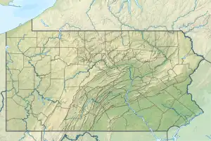 Location of the mouth of Walnut Creek in Pennsylvania | |
| Etymology | "walnut" |
| Location | |
| Country | United States |
| State | Pennsylvania |
| County | Erie |
| Physical characteristics | |
| Source | |
| • location | Hammett, Erie County, Pennsylvania |
| • coordinates | 42°2′24″N 80°0′3″W / 42.04000°N 80.00083°W[1] |
| • elevation | 1,460 ft (450 m)[2] |
| Mouth | Lake Erie |
• location | Manchester Beach, Erie County, Pennsylvania |
• coordinates | 42°4′37″N 80°14′23″W / 42.07694°N 80.23972°W[1] |
• elevation | 572 ft (174 m)[2] |
| Length | 22.6 mi (36.4 km)[2] |
| Basin size | 38.1 sq mi (99 km2)[2] |
Walnut Creek is a 22.6-mile (36.4 km) tributary of Lake Erie in Erie County, Pennsylvania in the United States. It has a drainage basin of 38.1 square miles (99 km2) and is part of the Lake Erie Watershed.
See also
References
- 1 2 "Walnut Creek". Geographic Names Information System. August 2, 1979. Retrieved February 13, 2009.
- 1 2 3 4 Shaw, L. C.; W. F. Busch (June 1984). Pennsylvania Gazetteer of Streams, Part II. Water Resources Bulletin. Vol. 16. Prepared in Cooperation with the United States Department of the Interior Geological Survey. Harrisburg, PA: Pennsylvania Department of Forest and Waters. p. 382.
This article is issued from Wikipedia. The text is licensed under Creative Commons - Attribution - Sharealike. Additional terms may apply for the media files.