Washita, Oklahoma | |
|---|---|
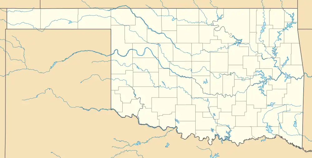 Washita Location within the state of Oklahoma  Washita Washita (the United States) | |
| Coordinates: 35°06′16″N 98°20′29″W / 35.10444°N 98.34139°W | |
| Country | United States |
| State | Oklahoma |
| County | Caddo |
| Area | |
| • Total | 0.57 sq mi (1.49 km2) |
| • Land | 0.57 sq mi (1.49 km2) |
| • Water | 0.00 sq mi (0.00 km2) |
| Elevation | 1,237 ft (377 m) |
| Population (2020) | |
| • Total | 83 |
| • Density | 144.60/sq mi (55.85/km2) |
| Time zone | UTC-6 (Central (CST)) |
| • Summer (DST) | UTC-5 (CDT) |
| ZIP codes | 73094 |
| FIPS code | 40-78750 |
| GNIS feature ID | 2805360[2] |
Washita is a rural community in Caddo County, Oklahoma, United States.[2] It is located west of Anadarko on a bend in the Washita River. The post office opened April 16, 1910.[3]
A municipal electrical power generation plant for Anadarko is located in Washita.
It is zoned to Anadarko Public Schools.[4]
Demographics
| Census | Pop. | Note | %± |
|---|---|---|---|
| 2020 | 83 | — | |
| U.S. Decennial Census[5] | |||
References
- ↑ "ArcGIS REST Services Directory". United States Census Bureau. Retrieved September 20, 2022.
- 1 2 3 U.S. Geological Survey Geographic Names Information System: Washita, Oklahoma
- ↑ Shirk, George H. Oklahoma Place Names. Norman: University of Oklahoma Press, 1987, p.250. ISBN 0-8061-2028-2
- ↑ "2020 CENSUS - SCHOOL DISTRICT REFERENCE MAP: Caddo County, OK" (PDF). U.S. Census Bureau. Retrieved July 11, 2021.
- ↑ "Census of Population and Housing". Census.gov. Retrieved June 4, 2016.
Municipalities and communities of Caddo County, Oklahoma, United States | ||
|---|---|---|
| City | 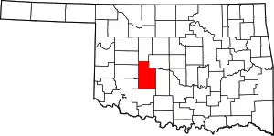 Caddo County map | |
| Towns | ||
| CDP | ||
| Other communities | ||
| Footnotes | ‡This populated place also has portions in an adjacent county or counties. | |
This article is issued from Wikipedia. The text is licensed under Creative Commons - Attribution - Sharealike. Additional terms may apply for the media files.