| Wells Creek | |
|---|---|
 Mouth of Wells Creek | |
| Location | |
| Country | United States |
| State | Minnesota |
| Physical characteristics | |
| Source | |
| • location | Goodhue, Minnesota |
| • coordinates | 44°23′03″N 92°34′10″W / 44.3841334°N 92.5693558°W |
| Mouth | |
• location | Frontenac, Minnesota |
• coordinates | 44°30′56″N 92°19′6″W / 44.51556°N 92.31833°W |
| Length | 27.6 miles |
| Basin features | |
| River system | Mississippi River |
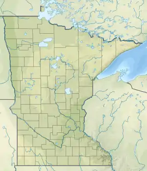
Wells Creek is a 27.6-mile-long (44.4 km)[1] tributary of the Mississippi River in Wabasha and Goodhue counties in Minnesota, United States.[2] It enters the Mississippi at Old Frontenac.[3]
Wells Creek was named for James "Bully" Wells, an early settler.[4]
See also
References
- ↑ U.S. Geological Survey. National Hydrography Dataset, high-resolution flowline data. The National Map, accessed October 4, 2012
- ↑ U.S. Geological Survey Geographic Names Information System: Wells Creek (Minnesota)
- ↑ U.S. Geological Survey Geographic Names Information System: Wells Creek
- ↑ Upham, Warren (1920). Minnesota Geographic Names: Their Origin and Historic Significance. Minnesota Historical Society. p. 210.
External links
- Minnesota Watersheds
- USGS Hydrologic Unit Map - State of Minnesota (1974)
This article is issued from Wikipedia. The text is licensed under Creative Commons - Attribution - Sharealike. Additional terms may apply for the media files.