Wernhout | |
|---|---|
Village | |
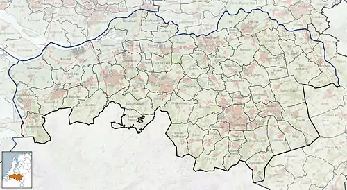 Wernhout Location in the province of North Brabant in the Netherlands 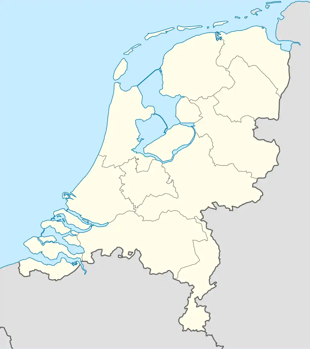 Wernhout Wernhout (Netherlands) | |
| Coordinates: 51°27′21″N 4°38′33″E / 51.45583°N 4.64250°E | |
| Country | Netherlands |
| Province | North Brabant |
| Municipality | Zundert |
| Area | |
| • Total | 15.64 km2 (6.04 sq mi) |
| Elevation | 13 m (43 ft) |
| Population (2021)[1] | |
| • Total | 2,955 |
| • Density | 190/km2 (490/sq mi) |
| Time zone | UTC+1 (CET) |
| • Summer (DST) | UTC+2 (CEST) |
| Postal code | 4884[1] |
| Dialing code | 076 |
Wernhout is a village the south of the Netherlands. It is located in Zundert, North Brabant, near the border with Belgium.
References
- 1 2 3 "Kerncijfers wijken en buurten 2021". Central Bureau of Statistics. Retrieved 19 April 2022.
This article is issued from Wikipedia. The text is licensed under Creative Commons - Attribution - Sharealike. Additional terms may apply for the media files.