| West Mountains | |
|---|---|
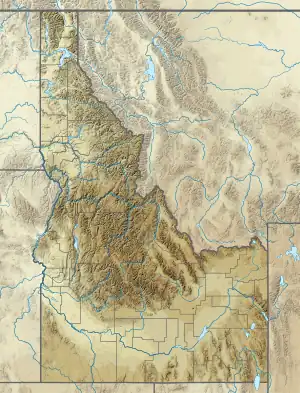 Location in Western Idaho | |
| Highest point | |
| Peak | Snowbank Mountain |
| Elevation | 8,320 ft (2,540 m)[1] |
| Coordinates | 44°27′05″N 116°07′43″W / 44.4512801°N 116.1287459°W[2] |
| Dimensions | |
| Length | 76 mi (122 km) N/S[3] |
| Width | 46 mi (74 km) E/W[3] |
| Area | 2,028 sq mi (5,250 km2)[3] |
| Geography | |
| Country | United States |
| State | Idaho |
| Range coordinates | 44°28′00″N 116°14′04″W / 44.46667°N 116.23444°W[4] |
| Borders on | Boise Mountains |
| Topo map | USGS Tripod Peak |
The West Mountains are a mountain range in the U.S. state of Idaho, spanning part of Boise and Payette national forests.[4][3][5] The highest point in the range is Snowbank Mountain at an elevation of 8,320 feet (2,540 m) above sea level.[1] The range is bordered to the east by the Payette River and the North Fork Payette River, which separate the range from the Boise Mountains.[6]
References
- 1 2 "Snowbank Mountain, Idaho". Peakbagger.com. Retrieved August 13, 2014.
- ↑ "Snowbank Mountain". Geographic Names Information System. United States Geological Survey, United States Department of the Interior. Retrieved August 13, 2014.
- 1 2 3 4 "West Mountains". Peakbagger.com. Retrieved August 13, 2014.
- 1 2 "West Mountains". Geographic Names Information System. United States Geological Survey, United States Department of the Interior. Retrieved August 13, 2014.
- ↑ "About the forest". U.S. Forest Service. Archived from the original on August 20, 2014. Retrieved August 13, 2014.
- ↑ "West Mountains (ID)". SummitPost.org. Retrieved August 13, 2014.
This article is issued from Wikipedia. The text is licensed under Creative Commons - Attribution - Sharealike. Additional terms may apply for the media files.