Whitfield, Florida | |
|---|---|
 Whitfield, Florida  Whitfield, Florida | |
| Coordinates: 30°52′55″N 87°03′09″W / 30.88194°N 87.05250°W | |
| Country | United States |
| State | Florida |
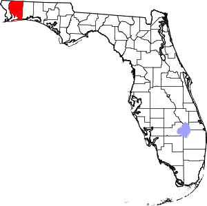
| County | Santa Rosa |
| Area | |
| • Total | 4.190 sq mi (10.85 km2) |
| • Land | 4.152 sq mi (10.75 km2) |
| • Water | 0.038 sq mi (0.10 km2) |
| Elevation | 223 ft (68 m) |
| Population | |
| • Total | 295 |
| • Density | 70/sq mi (27/km2) |
| Time zone | UTC-6 (Central (CST)) |
| • Summer (DST) | UTC-5 (CDT) |
| Area code | 850 |
| GNIS feature ID | 301643[2] |
Whitfield is an unincorporated community and census-designated place in Santa Rosa County, Florida, United States. Its population was 295 as of the 2010 census.[1] Florida State Road 87 passes through the community.
Geography
According to the U.S. Census Bureau, the community has an area of 4.190 square miles (10.85 km2); 4.152 square miles (10.75 km2) of its area is land, and 0.038 square miles (0.098 km2) is water.[1]
References
This article is issued from Wikipedia. The text is licensed under Creative Commons - Attribution - Sharealike. Additional terms may apply for the media files.