Whitney, Alabama | |
|---|---|
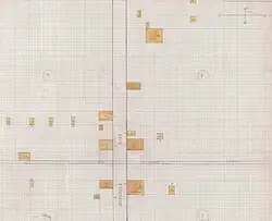 1926 fire insurance map of Whitney | |
 Whitney, Alabama  Whitney, Alabama | |
| Coordinates: 33°52′04″N 86°17′29″W / 33.86778°N 86.29139°W | |
| Country | United States |
| State | Alabama |
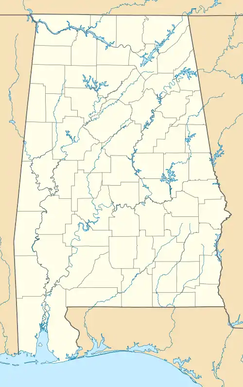
| County | St. Clair |
| Elevation | 597 ft (182 m) |
| Time zone | UTC-6 (Central (CST)) |
| • Summer (DST) | UTC-5 (CDT) |
| Area code(s) | 205, 659 |
| GNIS feature ID | 164909[1] |
Whitney is an unincorporated community in St. Clair County, Alabama, United States.
History
Whitney was named for Charles Whitney, a member of the Alabama Legislature following the Civil War.[2] A post office was established under the name Whitney in 1875 and was in operation until 1967.[3]
References
- ↑ "Whitney". Geographic Names Information System. United States Geological Survey, United States Department of the Interior.
- ↑ Foscue, Virginia (1989). Place Names in Alabama. Tuscaloosa: The University of Alabama Press. p. 148. ISBN 0-8173-0410-X.
- ↑ "St. Clair". Jim Forte Postal History. Retrieved November 8, 2014.
Municipalities and communities of St. Clair County, Alabama, United States | ||
|---|---|---|
| Cities | 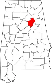 Map of Alabama highlighting St. Clair County | |
| Towns | ||
| Unincorporated communities | ||
| Former towns | ||
| Footnotes | ‡This populated place also has portions in an adjacent county or counties | |
This article is issued from Wikipedia. The text is licensed under Creative Commons - Attribution - Sharealike. Additional terms may apply for the media files.