Wichert, Illinois | |
|---|---|
 Wichert, Illinois  Wichert, Illinois | |
| Coordinates: 41°03′26″N 87°42′15″W / 41.05722°N 87.70417°W | |
| Country | United States |
| State | Illinois |
| County | Kankakee |
| Elevation | 633 ft (193 m) |
| Time zone | UTC-6 (Central (CST)) |
| • Summer (DST) | UTC-5 (CDT) |
| Area code(s) | 815 & 779 |
| GNIS feature ID | 421125[1] |
Wichert is an unincorporated community in St. Anne Township, Kankakee County, Illinois, United States. The community is on County Route 10 and a railway line 2.5 miles (4.0 km) north-northeast of St. Anne.[2]
References
- ↑ "Wichert". Geographic Names Information System. United States Geological Survey, United States Department of the Interior.
- ↑ General Highway Map: Kankakee County, Illinois (PDF) (Map). Illinois Department of Transportation. April 16, 2019. Retrieved July 2, 2019.
Municipalities and communities of Kankakee County, Illinois, United States | ||
|---|---|---|
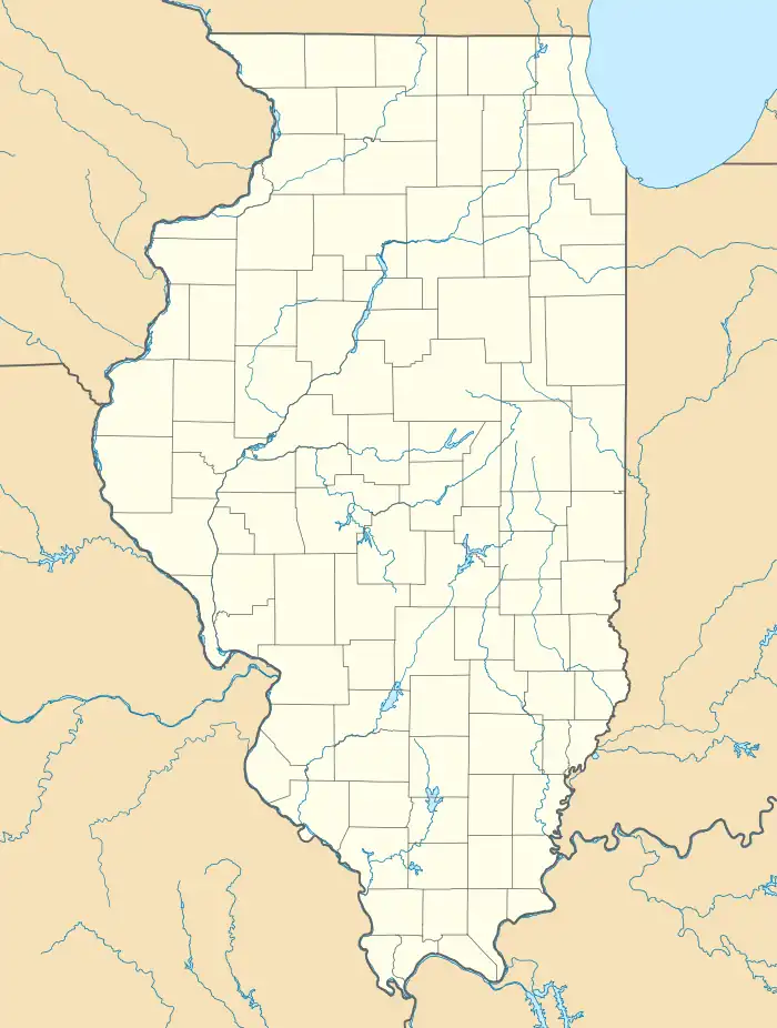
| Cities | Map of Illinois highlighting Kankakee County | |
| Villages | ||
| Townships | ||
| Unincorporated communities | ||
| Footnotes | ‡This populated place also has portions in an adjacent county or counties. | |
This article is issued from Wikipedia. The text is licensed under Creative Commons - Attribution - Sharealike. Additional terms may apply for the media files.