Worlds End Highway | |
|---|---|
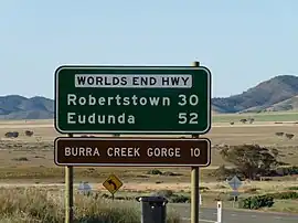 | |
| Road distances sign at north end of Worlds End Highway | |
 North end South end | |
| Coordinates | |
| General information | |
| Type | Highway |
| Length | 52 km (32 mi)[1] |
| Route number(s) | |
| Major junctions | |
| North end | Worlds End, South Australia |
| South end | Eudunda, South Australia |
| Location(s) | |
| Region | Yorke and Mid North[2] |
| Major settlements | Robertstown |
| Highway system | |
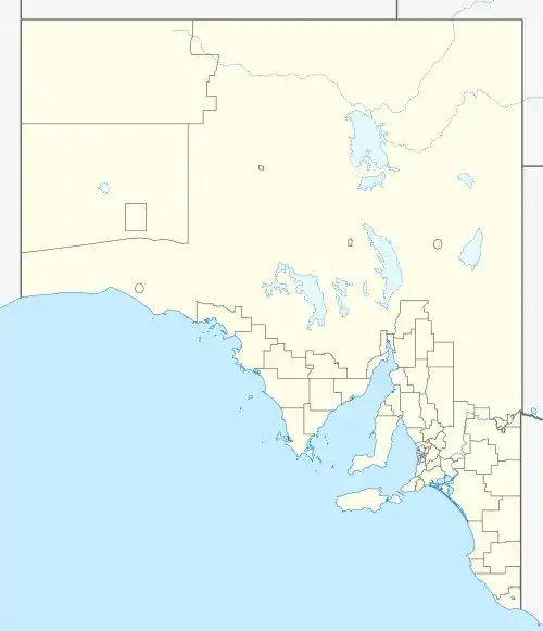
Worlds End Highway is a road in the Yorke and Mid North region of South Australia running north from Eudunda through Robertstown to Goyder Highway 18 km southeast of Burra.[3] The northern terminus of the highway is in a locality named Worlds End, leading to the name of the highway.
Route
Worlds End Highway is entirely contained within the Regional Council of Goyder local government area.[4]
| Location[1][3] | km[1] | mi | Destinations | Notes | |
|---|---|---|---|---|---|
| Worlds End | 0 | 0.0 | Northern terminus of highway | ||
| Robertstown | 30 | 19 | Black Springs Road – Black Springs | Cross road: southbound traffic turns left to Main Road, northbound traffic turns right to Commercial Street | |
| Eudunda | 52 | 32 | Southern terminus of highway | ||
| |||||
References
- 1 2 3 Google (2 June 2022). "Worlds End Highway" (Map). Google Maps. Google. Retrieved 2 June 2022.
- ↑ "Location SA Map viewer with regional layers". Government of South Australia. Retrieved 16 June 2022.
- 1 2 "Location SA Map viewer with suburb layers". Government of South Australia. Retrieved 16 June 2022.
- ↑ "Location SA Map viewer with LGA layers". Government of South Australia. Retrieved 16 June 2022.
This article is issued from Wikipedia. The text is licensed under Creative Commons - Attribution - Sharealike. Additional terms may apply for the media files.