Yaviza Airport | |||||||||||
|---|---|---|---|---|---|---|---|---|---|---|---|
| Summary | |||||||||||
| Airport type | Public | ||||||||||
| Serves | Yaviza, Panama | ||||||||||
| Elevation AMSL | 43 ft / 13 m | ||||||||||
| Coordinates | 8°09′10″N 77°41′15″W / 8.15278°N 77.68750°W | ||||||||||
| Map | |||||||||||
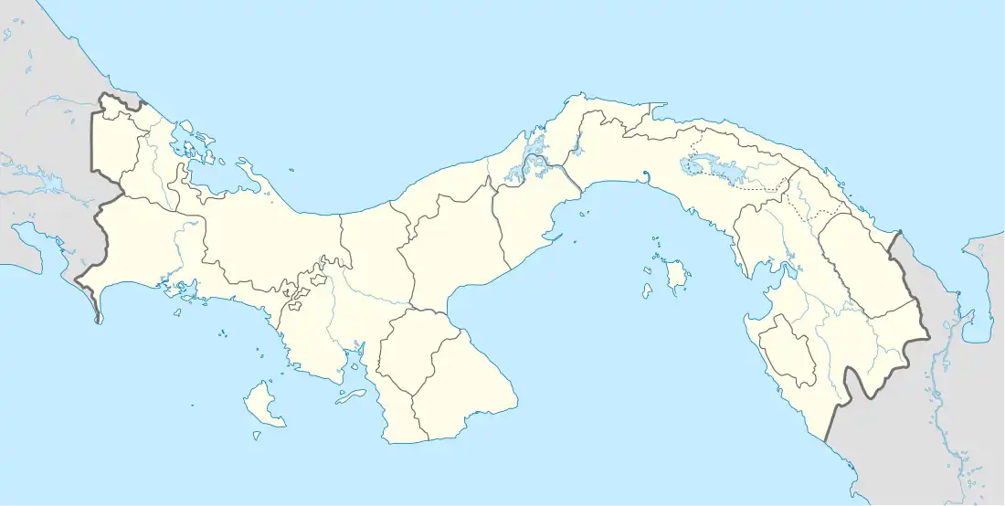 PYV Location of the airport in Panama | |||||||||||
| Runways | |||||||||||
| |||||||||||
Yaviza Airport (IATA: PYV) is an airstrip serving Yaviza, a town in the Darién Province of Panama. Yaviza is the southern end of the Pan-American Highway and the beginning of the Darién Gap.
The runway is just southeast of the town, across the Chucunaque River. North approach and departure will cross the water. There is a small pond at the southern end of the runway.
The La Palma VOR (Ident: PML) is located 30.8 nautical miles (57 km) northwest of the airstrip.[3]
See also
References
- ↑ HERE Maps - Yaviza
- ↑ Airport information for Yaviza Airport at Great Circle Mapper.
- ↑ "La Palma VOR". Our Airports. Retrieved 20 November 2018.
External links
- OpenStreetMap - Yaviza
- OurAirports - Yaviza Airport
- Accident history for PYV at Aviation Safety Network
- Bing Maps - Earlier image, Yaviza Airstrip
This article is issued from Wikipedia. The text is licensed under Creative Commons - Attribution - Sharealike. Additional terms may apply for the media files.