| Yellowjacket Pass | |
|---|---|
 Looking westbound from the summit | |
| Elevation | 7,785 ft (2,373 m)[1] |
| Traversed by | |
| Location | Archuleta County, Colorado |
| Coordinates | 37°15′45″N 107°26′55″W / 37.26250°N 107.44861°W[1] |
| Topo map | USGS Baldy Mountain |
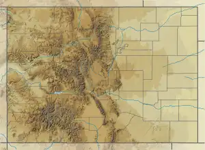 Yellowjacket Pass Location in Colorado | |
Yellowjacket Pass is a 7,785 ft (2,373 m) elevation mountain pass in Archuleta County, Colorado in the United States.
See also
References
This article is issued from Wikipedia. The text is licensed under Creative Commons - Attribution - Sharealike. Additional terms may apply for the media files.