Zádor | |
|---|---|
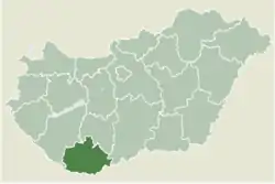 Location of Baranya county in Hungary | |
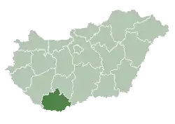
 Zádor Location of Zádor, Hungary | |
| Coordinates: 45°57′44″N 17°39′33″E / 45.96226°N 17.65907°E | |
| Country | |
| County | Baranya |
| Area | |
| • Total | 15.22 km2 (5.88 sq mi) |
| Population (2004) | |
| • Total | 390 |
| • Density | 25.62/km2 (66.4/sq mi) |
| Time zone | UTC+1 (CET) |
| • Summer (DST) | UTC+2 (CEST) |
| Postal code | 7976 |
| Area code | 73 |
History
According to László Szita the settlement was completely Hungarian in the 18th century.[1]
References
External links
- Street map (in Hungarian)

This article is issued from Wikipedia. The text is licensed under Creative Commons - Attribution - Sharealike. Additional terms may apply for the media files.