Zante, California | |
|---|---|
 Zante, California  Zante, California | |
| Coordinates: 36°06′53″N 119°02′44″W / 36.11472°N 119.04556°W | |
| Country | United States |
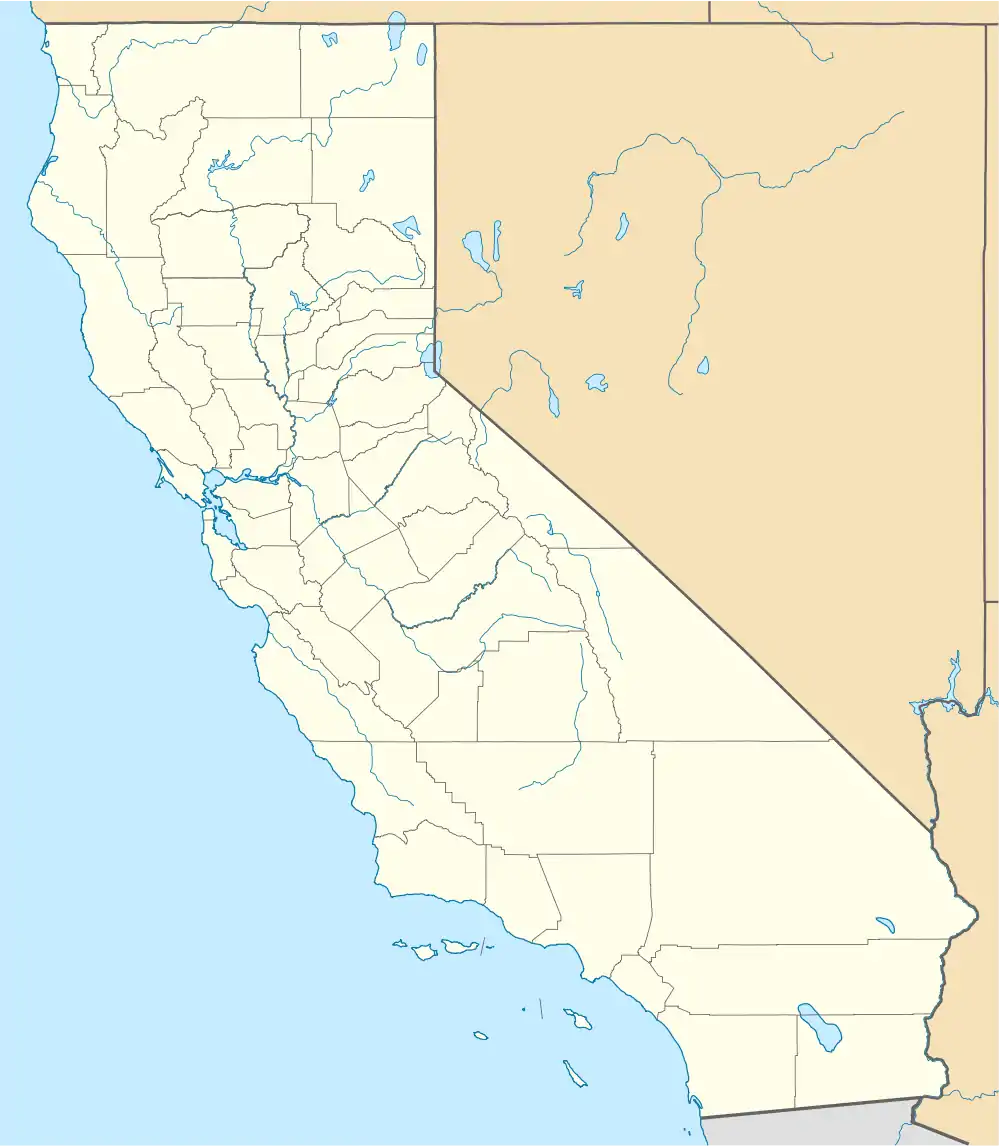
| State | California |
| County | Tulare |
| Elevation | 417 ft (127 m) |
| Time zone | UTC-8 (Pacific (PST)) |
| • Summer (DST) | UTC-7 (PDT) |
| Area code | 559 |
| GNIS feature ID | 253008[1] |
Zante is an unincorporated community in the San Joaquin Valley, within Tulare County, central California.
Zante is 3.5 miles (5.6 km) north-northwest of Porterville.
- History
The town is named for the Zante currant, a type of small raisin and a crop grown in the area.
References

This article is issued from Wikipedia. The text is licensed under Creative Commons - Attribution - Sharealike. Additional terms may apply for the media files.