Zari | |
|---|---|
Town | |
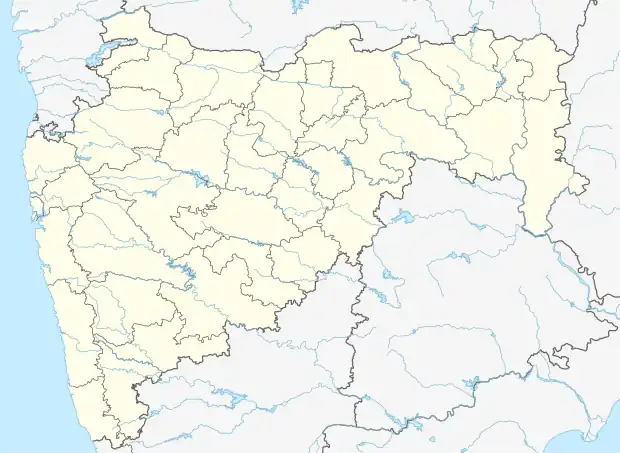 Zari Location in Maharashtra, India  Zari Zari (India) | |
| Coordinates: 20°08′15″N 72°52′09″E / 20.1373991°N 72.8692711°E | |
| Country | India |
| State | Maharashtra |
| District | Palghar |
| Taluka | Talasari |
| Elevation | 56 m (184 ft) |
| Population (2011) | |
| • Total | 4,602 |
| Time zone | UTC+5:30 (IST) |
| 2011 census code | 551554 |
Zari is a town in the Palghar district of Maharashtra, India. It is located in the Talasari taluka.[1]
Demographics
According to the 2011 census of India, Zari has 806 households. The effective literacy rate (i.e. the literacy rate of population excluding children aged 6 and below) is 49.18%.[2]
| Total | Male | Female | |
|---|---|---|---|
| Population | 4602 | 2207 | 2395 |
| Children aged below 6 years | 836 | 411 | 425 |
| Scheduled caste | 8 | 2 | 6 |
| Scheduled tribe | 4541 | 2183 | 2358 |
| Literates | 1852 | 1085 | 767 |
| Workers (all) | 1649 | 925 | 724 |
| Main workers (total) | 944 | 579 | 365 |
| Main workers: Cultivators | 540 | 317 | 223 |
| Main workers: Agricultural labourers | 99 | 50 | 49 |
| Main workers: Household industry workers | 6 | 4 | 2 |
| Main workers: Other | 299 | 208 | 91 |
| Marginal workers (total) | 705 | 346 | 359 |
| Marginal workers: Cultivators | 221 | 109 | 112 |
| Marginal workers: Agricultural labourers | 322 | 118 | 204 |
| Marginal workers: Household industry workers | 3 | 3 | 0 |
| Marginal workers: Others | 159 | 116 | 43 |
| Non-workers | 2953 | 1282 | 1671 |
References
- ↑ "Maharashtra villages" (PDF). Land Records Information Systems Division, NIC. Retrieved 17 August 2015.
- 1 2 "District census data". 2011 Census of India. Directorate of Census Operations. Retrieved 17 August 2015.
This article is issued from Wikipedia. The text is licensed under Creative Commons - Attribution - Sharealike. Additional terms may apply for the media files.