Çıldır District | |
|---|---|
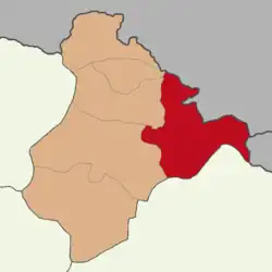 Map showing Çıldır District in Ardahan Province | |
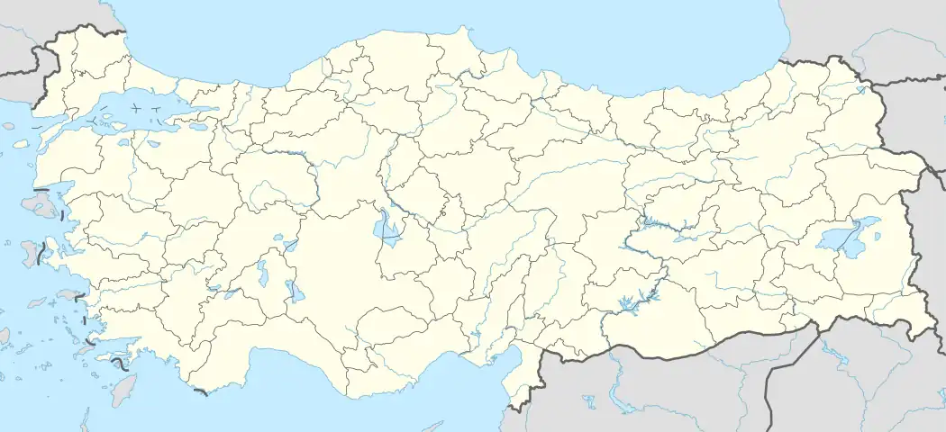 Çıldır District Location in Turkey | |
| Coordinates: 41°08′N 43°08′E / 41.133°N 43.133°E | |
| Country | Turkey |
| Province | Ardahan |
| Seat | Çıldır |
| Government | |
| • Kaymakam | Muhammed Enes İpek |
| Area | 988 km2 (381 sq mi) |
| Population (2021) | 8,983 |
| • Density | 9.1/km2 (24/sq mi) |
| Time zone | TRT (UTC+3) |
| Website | www |
Çıldır District is a district of Ardahan Province of Turkey. Its seat is the town Çıldır.[1] Its area is 988 km2,[2] and its population is 8,983 (2021).[3]
Most of the rural population of the district is populated by the Karapapakh.[4] The district is also populated by Kurds and Turks.[5]
Composition
There is one municipality in Çıldır District:[1]
There are 34 villages in Çıldır District:[6]
- Ağıllı
- Akçakale
- Akçıl
- Akdarı
- Akkiraz
- Aşağıcambaz
- Baltalı
- Başköy
- Damlıca
- Dirsekkaya
- Doğankaya
- Eskibeyrehatun
- Eşmepınar
- Gölbelen
- Gölebakan
- Güvenocak
- Karakale
- Kaşlıkaya
- Kayabeyi
- Kenarbel
- Kenardere
- Kotanlı
- Kurtkale
- Kuzukaya
- Meryemköy
- Öncül
- Övündü
- Sabaholdu
- Saymalı
- Sazlısu
- Semihaşakir
- Taşdeğirmen
- Yenibeyrehatun
- Yukarıcambaz
See also
References
- 1 2 İlçe Belediyesi, Turkey Civil Administration Departments Inventory. Retrieved 12 January 2023.
- ↑ "İl ve İlçe Yüz ölçümleri". General Directorate of Mapping. Retrieved 12 January 2023.
- ↑ "Address-based population registration system (ADNKS) results dated 31 December 2021" (XLS) (in Turkish). TÜİK. Retrieved 12 January 2023.
- ↑ Peter Alfred, Andrews; Benninghaus, Rüdiger, eds. (1989). Ethnic Groups in the Republic of Turkey. p. 75.
- ↑ Kırzıoğlu, Fahrettin. "Çıldır Köyleri Seyahat Notları - II" (PDF). Bizim Ahıska (in Turkish): 22. Retrieved 22 May 2023.
- ↑ Köy, Turkey Civil Administration Departments Inventory. Retrieved 15 January 2023.
Çıldır District in Ardahan Province of Turkey | |||||||||||||||||||||||||||
|---|---|---|---|---|---|---|---|---|---|---|---|---|---|---|---|---|---|---|---|---|---|---|---|---|---|---|---|
| Districts |  Districts of Ardahan | ||||||||||||||||||||||||||
| |||||||||||||||||||||||||||
Metropolitan municipalities are bolded. | |||||||||||||||||||||||||||
This article is issued from Wikipedia. The text is licensed under Creative Commons - Attribution - Sharealike. Additional terms may apply for the media files.