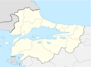
İslambeyli
Urummbeyli | |
|---|---|
 İslambeyli Location in Turkey  İslambeyli İslambeyli (Marmara) | |
| Coordinates: 41°42′N 27°37′E / 41.700°N 27.617°E | |
| Country | Turkey |
| Province | Kırklareli |
| District | Pınarhisar |
| Elevation | 412 m (1,352 ft) |
| Population (2022) | 243 |
| Time zone | TRT (UTC+3) |
| Postal code | 39300 |
| Area code | 0288 |
İslambeyli is a village in Pınarhisar District of Kırklareli Province, Turkey.[1] Its population is 243 (2022).[2] It is situated in the Eastern Thrace plains. The distance to Pınarhisar is 17 kilometres (11 mi). The old name of this village is Urumbeyli. It was a Bulgarian village during the Ottoman Empire era. But after the Second Balkan War the Bulgarian population was forced to leave the settlement.
References
- ↑ Köy, Turkey Civil Administration Departments Inventory. Retrieved 1 March 2023.
- ↑ "Address-based population registration system (ADNKS) results dated 31 December 2022, Favorite Reports" (XLS). TÜİK. Retrieved 13 March 2023.
This article is issued from Wikipedia. The text is licensed under Creative Commons - Attribution - Sharealike. Additional terms may apply for the media files.