 | |
| UTC time | 1875-05-18 |
|---|---|
| Local date | 18 May 1875 |
| Local time | 11:15 |
| Magnitude | Mw 6.75 |
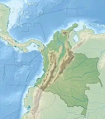
| Epicenter | 7°54′N 72°30′W / 7.9°N 72.5°W |
| Areas affected | Colombia, Venezuela |
| Casualties | ~10,000 |


The 1875 Cúcuta earthquake (also known as earthquake of the Andes) occurred on 18 May at 11:15 AM. It completely demolished Cúcuta, Villa del Rosario (Colombia), San Antonio del Tachira and Capacho (Venezuela). The earthquake killed many Venezuelans in San Cristóbal, La Mulata, Rubio, Michelena, La Grita, Colón, amongst others, and was felt in both Bogotá and Caracas.
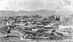
That day, the city of Cúcuta and the town of Villa del Rosario, in the Norte de Santander department (Colombia) and the municipalities of San Antonio del Táchira and Capacho, Táchira State (Venezuela) were destroyed totally by this catastrophic earthquake. Villa del Rosario was a historical and calm population. In 1821 had met in the main church (Historic church) to means to construct, the members of the First Congress of the Great Colombia, known as Congress of Cúcuta.
Still it is observed the rest of the church that collapse during the great seismic movement, the houses of that time in the zone were of the purest Spanish colonial style.
Geology
The earthquake occurred in the Mérida Andes and scientists proposed it was associated with rupture on the Aguas Calientes Fault System or faults in the Cucuta graben. The Aguas Calientes Fault System is a northwestern extension of the Boconó Fault. Paleoseismic studies of the Aguas Calientes Fault System at the presumed earthquake epicenter revealed evidence of recent surface rupture. The central part of the Aguas Calientes Fault System was the likely source of the event. Its moment magnitude is estimated at Mw 6.75.[1]
Death toll
The exact number of victims is not known; Spokane Daily Chronicle reported that the figure was as many as 2,500,[2] while other sources say that the death toll was about 1,000.[3][4] Early newspaper reports put the number at 8 to 10,000.[5][6] The Evening Post wrote that 5,000 died outright with a further 9,000 dying from the after effects such as fever and lockjaw.[7]
Affected areas
The earthquake covered 5 degrees of Latitude and was 500 miles long.[8] Populated areas affected were Villa of the Rosary, San Luis, Salazar, Woods of the Palms, Gramalote, Bochalema and San Faustino in Colombia. San Antonio, Capacho, San Cristóbal, the Mulata, Rubio, Michelena, La Grita, Colón in Venezuela. In addition it was also felt in Bogotá and Caracas.
See also
References
- ↑ Rodríguez, Luz; Diederix, Hans; Torres, Eliana; Audemard, Franck; Hernández, Catalina; Singer, André; Bohórquez, Olga; Yepez, Santiago (2018). "Identification of the seismogenic source of the 1875 Cucuta earthquake on the basis of a combination of neotectonic, paleoseismologic and historic seismicity studies". Journal of South American Earth Sciences. 82: 274–291. Bibcode:2018JSAES..82..274R. doi:10.1016/j.jsames.2017.09.019.
- ↑ "Island Smashed-Toll in Quake Nearing 400". Spokane Daily Chronicle. 14 December 1979. Retrieved 23 February 2010.
- ↑ "Earthquake rocks central Colombia". BBC News. 25 May 2008. Retrieved 23 February 2010.
- ↑ "Colombians Sift Rubble as Earthquake Toll Rises". The New York Times. 27 January 1999. Retrieved 23 February 2010.
- ↑ "The Earthquake in Cucuta" (PDF). The New York Times. 16 August 1875. Retrieved 23 February 2010.
- ↑ "Earthquake and Volcanic Eruption in South America". Daily Southern Cross. 23 August 1875. Retrieved 23 February 2010.
- ↑ "The Earthquake of South America". Evening Post. 30 August 1875. Retrieved 23 February 2010.
- ↑ "The Earthquake of South America". Southland Times. 13 September 1875. Retrieved 23 February 2010.
Further reading
- Sir Norman Lockyer (1877). Nature. Macmillan Journals Limited. p. 558.


