Ağaçyurdu | |
|---|---|
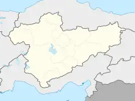
 Ağaçyurdu Location in Turkey  Ağaçyurdu Ağaçyurdu (Turkey Central Anatolia) | |
| Coordinates: 36°59′N 33°14′E / 36.983°N 33.233°E | |
| Country | Turkey |
| Province | Karaman |
| District | Karaman |
| Elevation | 1,410 m (4,630 ft) |
| Population (2022) | 100 |
| Time zone | TRT (UTC+3) |
| Postal code | 70000 |
| Area code | 0338 |
Ağaçyurdu is a village the Karaman District of Karaman Province, Turkey.[1] Its population is 100 (2022).[2] It is situated to the east of Turkish state highway D.715. Its distance to Karaman is 28 kilometres (17 mi). Major economic activity of the village is agriculture. Main crops are citrus and apple. Dairying is a secondary activity.
References
- ↑ Köy, Turkey Civil Administration Departments Inventory. Retrieved 1 March 2023.
- ↑ "Address-based population registration system (ADNKS) results dated 31 December 2022, Favorite Reports" (XLS). TÜİK. Retrieved 13 March 2023.
This article is issued from Wikipedia. The text is licensed under Creative Commons - Attribution - Sharealike. Additional terms may apply for the media files.