Abdullahpur Union
আবদুল্লাহপুর ইউনিয়ন | |
|---|---|
Union | |
 Abdullahpur Union | |
| Coordinates: 22°9′22.000″N 90°47′28.000″E / 22.15611111°N 90.79111111°E | |
| Country | |
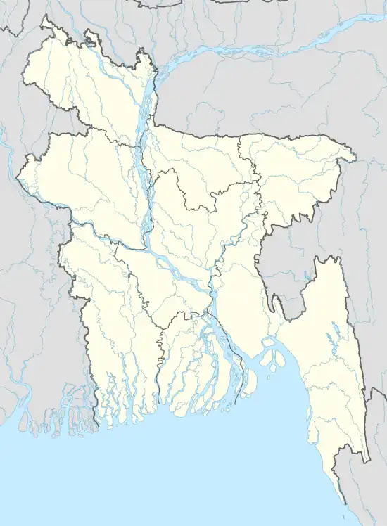
| Division | Barisal |
| District | Bhola |
| Upazila | Char Fasson |
| Government | |
| • Type | Local Government |
| • Body | Union Parishad |
| • Chairman | Al Emran Prince (Bangladesh Awami league) |
| Area | |
| • Total | 3,183 ha (7,865 acres) |
| Population (2011) | |
| • Total | 18,562 |
| • Density | 580/km2 (1,000/sq mi) |
| • Male | 9,053 |
| • Male density | 280/km2 (460/sq mi) |
| • Female | 9,509 |
| • Female density | 300/km2 (540/sq mi) |
| Time zone | UTC+6 (BST) |
| Administrative Department code | 10 09 25 13 |
| Website | abdullahpurup |
Abdullahpur (Bengali: আব্দুল্লাহপুর) is a union territory of Char Fasson Upazila in Bhola district in Bangladesh.[1][2][3]
Area
Administrative Structure
Abubakarpur Union is a union of Char Fasson Upazila. Administrative activities of this union are under Char Fassion police Station. It is part of Bhola-4 constituency 118 of the National Assembly.[7][8][9]
Population Data
According to the 2011 census, the total population of Abubakarpur Union is 18,562. Of these, 9,053 are males and 9,509 are females. The total number of families is 3,975.[10][11][12]
Education
According to the 2011 census, Abubakarpur Union has an average literacy rate of 43.9%.[13][14][15]
See also
References
- ↑ "Local Government Engineering Department (LGED)". oldweb.lged.gov.bd. Retrieved 2020-06-13.
- ↑ "Mouza Map & 3 Detailed Maps of Charfassion Upazila, Bhola, Bangladesh - Tourism Directory of Bangladesh". www.thebangladesh.net. Retrieved 2020-06-13.
- ↑ চরফ্যাশন উপজেলা. charfesson.bhola.gov.bd. Retrieved 2020-06-13.
This article is issued from Wikipedia. The text is licensed under Creative Commons - Attribution - Sharealike. Additional terms may apply for the media files.