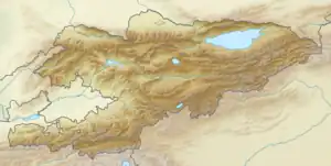
| Abshir-Ata Waterfall | |
|---|---|
| Абшыр-Ата | |
 | |
| Location | |
| Nearest city | Kyzyl-Kiya, Nookat |
| Coordinates | 40°09′46″N 72°21′47″E / 40.16278°N 72.36306°E |
| Established | 1975 |
Abshir-Ata Waterfall (Kyrgyz: Абшир-Ата шаркыратмасы) is a geological reserve in Nookat District of Osh Region of Kyrgyzstan.[1] It was established in 1975. The waterfall is the mouth of an underground river in the valley of the river Abshirsay. The water cascades down in two steps (15 m and 12 m) through 1.5 m cave in a sheer cliff.[2]
References
- ↑ "Classification system of territorial units of the Kyrgyz Republic" (in Kyrgyz). National Statistics Committee of the Kyrgyz Republic. May 2021. pp. 86–91.
- ↑ Ошская область: Энциклопедия [Osh Oblast Encyclopedia] (in Russian). Frunze: Chief Editorial Board of Kyrgyz Soviet Encyclopedia. 1994. p. 445.
This article is issued from Wikipedia. The text is licensed under Creative Commons - Attribution - Sharealike. Additional terms may apply for the media files.