Adams Crossroads | |
|---|---|
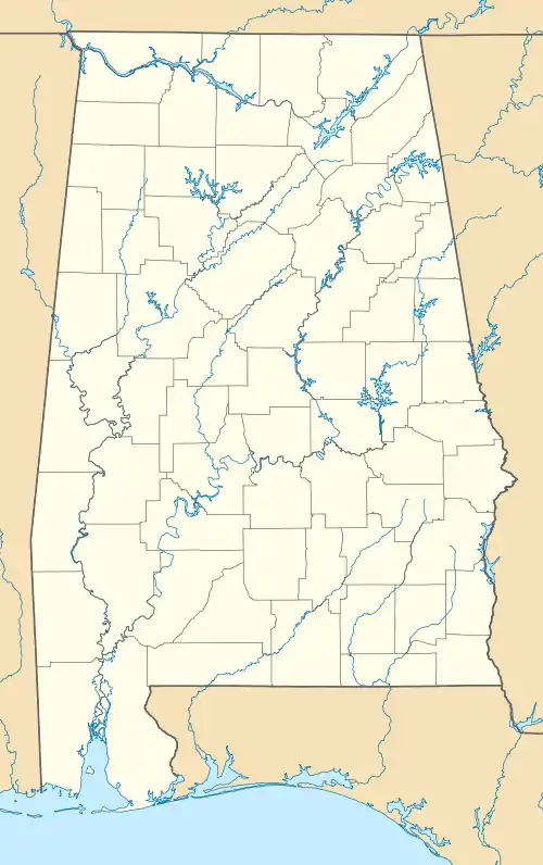
 Adams Crossroads Location in Alabama. | |
| Coordinates: 34°04′39″N 85°29′16″W / 34.07750°N 85.48778°W | |
| Country | United States |
| State | Alabama |
| County | Cherokee |
| Elevation | 735 ft (224 m) |
| Time zone | UTC-6 (Central (CST)) |
| • Summer (DST) | UTC-5 (CDT) |
| Area codes | 256 & 938 |
| GNIS feature ID | 155978[1] |
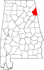
Adams Crossroads is an unincorporated community in Cherokee County, Alabama, United States.
History
The community was named for W. S. Adams, an early settler.[2]
Demographics
According to the returns from 1850[3]-2010[4] for Alabama, it has never reported a population figure separately on the U.S. Census.[5]
References
- ↑ "Adams Crossroads". Geographic Names Information System. United States Geological Survey, United States Department of the Interior.
- ↑ "Cherokee County, Ala". Calhoun Times. September 1, 2004. p. 39. Retrieved April 24, 2015.
- ↑ http://www2.census.gov/prod2/decennial/documents/1850c-11.pdf, 1850 Census (places)
- ↑ http://www.census.gov/prod/cen2010/cph-1-2.pdf, 2010 AL Census
- ↑ "US Census Bureau Publications - Census of Population and Housing".
This article is issued from Wikipedia. The text is licensed under Creative Commons - Attribution - Sharealike. Additional terms may apply for the media files.
