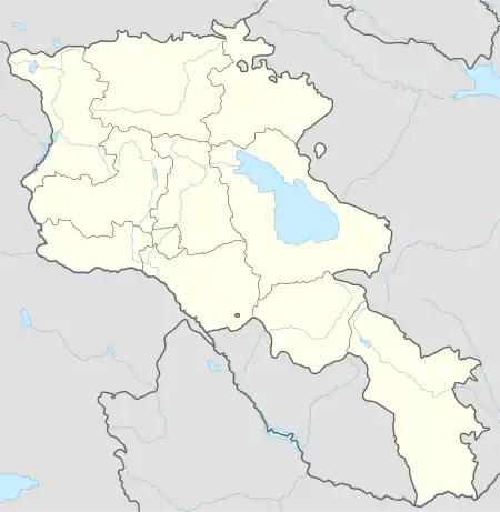
40°05′45″N 44°17′10″E / 40.09583°N 44.28611°E
Aknashen Ակնաշեն | |
|---|---|
 Aknashen Ակնաշեն | |
| Coordinates: 40°05′45″N 44°17′10″E / 40.09583°N 44.28611°E | |
| Country | Armenia |
| Marz (Province) | Armavir |
| Population (2008) | |
| • Total | 1,479 |
| Time zone | UTC+4 ( ) |
| • Summer (DST) | UTC+5 ( ) |
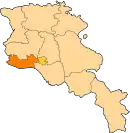
Aknashen (Armenian: Ակնաշեն, also Romanized as Aknachen; until 1978, Khatunarkh Verin, Verin Khatunarkh, and Khatunarkh, also Russified as Verkhniy Khatunarkh) is a town in the Armavir Province of Armenia. The town's church is dedicated to Saint Bartholomew; nearby is a ruin of an 8th-century building.
Archaeology
Evidence from charred remains and crop processing residues in pisé from the Neolithic settlements of Aratashen and Aknashen.[1] Recently, an 8000-year old settlement was excavated at Aknashen[2]
See also
References
- ↑ Hovsepyan R. Willcox G. (2008). "The earliest finds of cultivated plants in Armenia: evidence from charred remains and crop processing residues in pisé from the Neolithic settlements of Aratashen and Aknashen". Vegetation History and Archaeobotany. 17: 63–71. doi:10.1007/s00334-008-0158-6. S2CID 66190451.
- ↑ "8000-Year Old Settlement Excavated at Aknashen". 28 November 2017.
- Aknashen at GEOnet Names Server
- World Gazetteer: Armenia – World-Gazetteer.com
- Report of the results of the 2001 Armenian Census, Statistical Committee of Armenia
- Kiesling, Brady (2005), Rediscovering Armenia: Guide, Yerevan, Armenia: Matit Graphic Design Studio
- Kiesling, Brady (June 2000). Rediscovering Armenia: An Archaeological/Touristic Gazetteer and Map Set for the Historical Monuments of Armenia (PDF). Archived (PDF) from the original on 6 November 2021.
This article is issued from Wikipedia. The text is licensed under Creative Commons - Attribution - Sharealike. Additional terms may apply for the media files.
