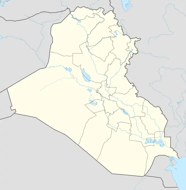
Al Hashimiyah
الهاشمية | |
|---|---|
 Al Hashimiyah | |
| Coordinates: 32°21′59″N 44°39′29″E / 32.36639°N 44.65806°E | |
| Country | |
| Governorate | Babil |
| Municipality | Hashimiya District |
| Population (2018) | |
| • Total | 37,300 |
Al Hashimiyah (Arabic: الهاشمية) is a town in Babil Governorate, Iraq. It is located 130 kilometres (81 mi) south of Baghdad.
Background
Al Hashimiyah is named after Hashemites who inhabited the region. The region is about 620 square kilometres (240 sq mi).[1]
Climate
Al Hashimiyah has a hot desert climate (Köppen climate classification BWh). Most rain falls in the winter. The average annual temperature in Al Hashimiyah is 23.1 °C (73.6 °F). About 117 mm (4.61 in) of precipitation falls annually.
| Climate data for Al Hashimiyah | |||||||||||||
|---|---|---|---|---|---|---|---|---|---|---|---|---|---|
| Month | Jan | Feb | Mar | Apr | May | Jun | Jul | Aug | Sep | Oct | Nov | Dec | Year |
| Mean daily maximum °C (°F) | 16.6 (61.9) |
19.5 (67.1) |
24.0 (75.2) |
29.5 (85.1) |
35.4 (95.7) |
41.3 (106.3) |
43.3 (109.9) |
43.3 (109.9) |
40.1 (104.2) |
33.8 (92.8) |
25.1 (77.2) |
18.3 (64.9) |
30.9 (87.5) |
| Mean daily minimum °C (°F) | 4.3 (39.7) |
6.3 (43.3) |
9.9 (49.8) |
14.8 (58.6) |
20.3 (68.5) |
23.9 (75.0) |
25.6 (78.1) |
24.8 (76.6) |
21.5 (70.7) |
16.6 (61.9) |
10.8 (51.4) |
5.8 (42.4) |
15.4 (59.7) |
| Average precipitation mm (inches) | 25 (1.0) |
18 (0.7) |
14 (0.6) |
17 (0.7) |
6 (0.2) |
0 (0) |
0 (0) |
0 (0) |
0 (0) |
2 (0.1) |
13 (0.5) |
22 (0.9) |
117 (4.6) |
| Source: Climate-Data.org | |||||||||||||
References
- ↑ الوحدات الإدارية ومساحتها كما في 2009 (in Arabic)
This article is issued from Wikipedia. The text is licensed under Creative Commons - Attribution - Sharealike. Additional terms may apply for the media files.