Al Seej
السيج | |
|---|---|
District | |
 Jaww Al Markh Street in Al Seej | |
 Al Seej | |
| Coordinates: 25°19′19″N 51°22′27″E / 25.321845°N 51.374191°E | |
| Country | |
| Municipality | Al Rayyan |
| Zone | Zone 51 |
| District no. | 52 |
| Area | |
| • Total | 5.8 km2 (2.2 sq mi) |
| Elevation | 37 m (121 ft) |
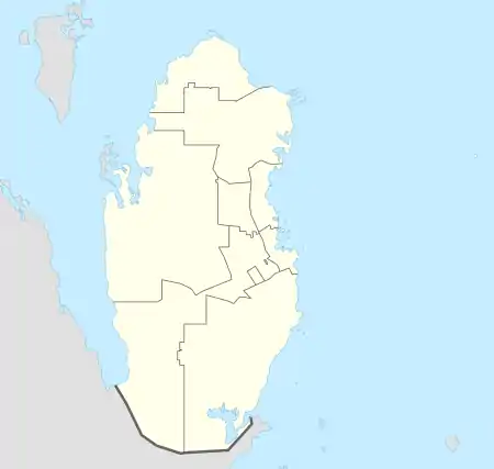
Al Seej (Arabic: السيج, romanized: As Sīq; also spelled Al Seeq) is a district in Qatar, located in the municipality of Al Rayyan.[3][4]
In the 2015 census, it was listed as a district of Zone 51 which has a population of 56,027 and also includes Izghawa, Gharrafat Al Rayyan, Al Gharrafa, Rawdat Egdaim, Bani Hajer and Al Themaid.[3]
It borders Bani Hajer to the east, Al Wajbah to the south, Rawdat Al Jahanniya to the west, and Rawdat Egdaim to the north.[4]
Etymology
The district's name has its origins in the Arabic "saq", which refers to a tree trunk. As the area is situated in a rawda, it accommodated various flora, among which Ziziphus nummularia, locally known as "sidr", was most valued because of the use of its trunks as building material.[4]
References
- ↑ "District Area Map". Ministry of Development Planning and Statistics. Retrieved 12 February 2019.
- ↑ "Al Seej, Zone 51, Qatar on the Elevation Map". elevationmap.net. Retrieved 3 January 2019.
- 1 2 "2015 population census" (PDF). Ministry of Development Planning and Statistics. Archived from the original (PDF) on 14 February 2017. Retrieved 3 January 2019.
- 1 2 3 "District map". The Centre for Geographic Information Systems of Qatar. Archived from the original on 24 November 2020. Retrieved 3 January 2019.
This article is issued from Wikipedia. The text is licensed under Creative Commons - Attribution - Sharealike. Additional terms may apply for the media files.