| Alsterån | |
|---|---|
 Alsterån in year 1925 | |
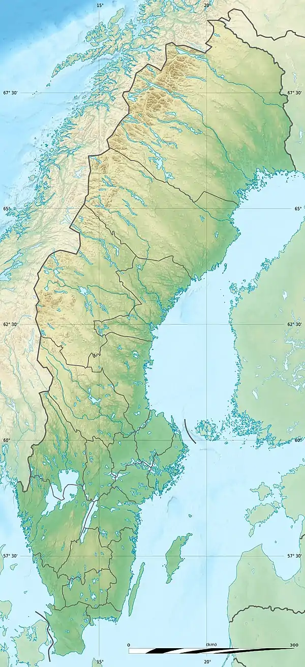
 Location of the mouth in Sweden | |
| Location | |
| Country | Sweden |
| Physical characteristics | |
| Source | Alstern |
| • coordinates | 56°59′50″N 15°24′42″E / 56.99722°N 15.41167°E |
| • elevation | 219 m (719 ft) |
| Mouth | Kalmar Strait, Baltic Sea |
• location | Pataholm |
• coordinates | 56°55′15″N 16°26′08″E / 56.92083°N 16.43556°E |
• elevation | 0 m (0 ft) |
| Length | 100 km (62 mi)[1] |
| Basin size | 1,524.8 km2 (588.7 sq mi)[2] |
| Discharge | |
| • average | 10 m3/s (350 cu ft/s)[1] |
References
- 1 2 "Alsterån". Nationalencyklopedin (in Swedish). Retrieved 15 July 2010. (subscription required)
- ↑ "Län och huvudavrinningsområden i Sverige" (PDF) (in Swedish). Swedish Meteorological and Hydrological Institute. Archived from the original (PDF) on 28 September 2018. Retrieved 15 July 2010.
This article is issued from Wikipedia. The text is licensed under Creative Commons - Attribution - Sharealike. Additional terms may apply for the media files.