Amieira | |
|---|---|
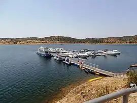
 Amieira Marina | |
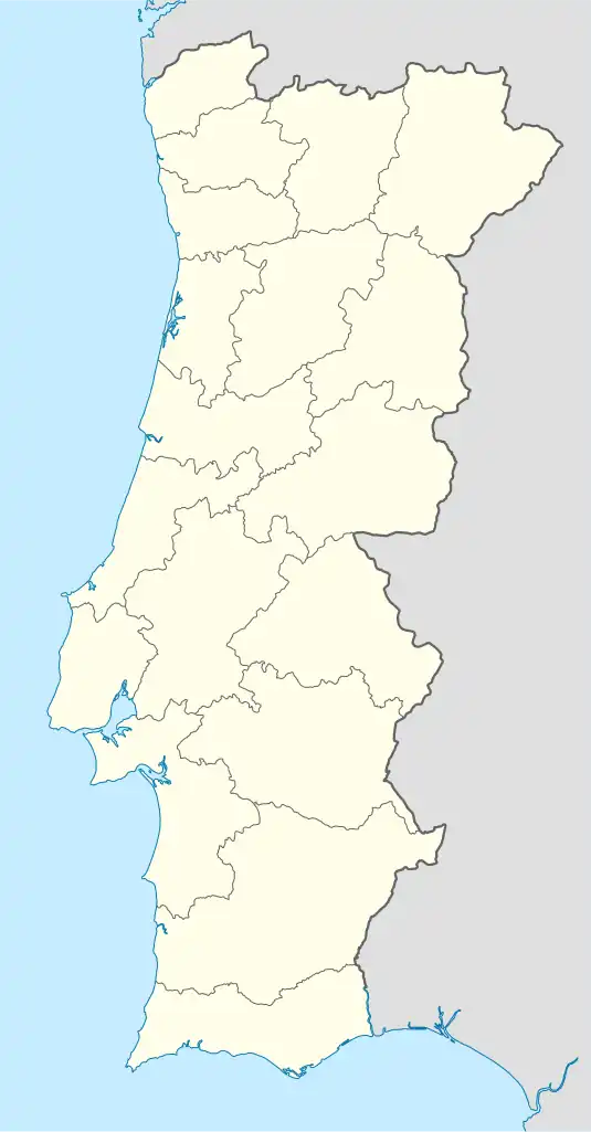
 Amieira Location in Portugal | |
| Coordinates: 38°17′9″N 7°33′35″W / 38.28583°N 7.55972°W | |
| Country | |
| Region | Alentejo |
| Intermunic. comm. | Alentejo Central |
| District | Évora |
| Municipality | Portel |
| Area | |
| • Total | 98.36 km2 (37.98 sq mi) |
| Population (2011) | |
| • Total | 362 |
| • Density | 3.7/km2 (9.5/sq mi) |
| Time zone | UTC±00:00 (WET) |
| • Summer (DST) | UTC+01:00 (WEST) |
Amieira is a former civil parish in the municipality of Portel, Portugal. The population in 2011 was 362, in an area of 98.36 km2. On 28 January 2013, the parish merged with Alqueva to form the new parish of Amieira e Alqueva.[1]
Population
| Population of the parish of Amieira [2] | ||||||||||||||
|---|---|---|---|---|---|---|---|---|---|---|---|---|---|---|
| 1864 | 1878 | 1890 | 1900 | 1911 | 1920 | 1930 | 1940 | 1950 | 1960 | 1970 | 1981 | 1991 | 2001 | 2011 |
| 597 | 662 | 743 | 759 | 868 | 857 | 954 | 1,097 | 1,069 | 943 | 778 | 614 | 505 | 436 | 362 |
References
- ↑ Lei n.º 11-A/2013, de 28 de janeiro: Reorganização administrativa do território das freguesias. Anexo I. Diário da República, 1.ª Série, n.º 19, Suplemento, de 14/06/2016.
- ↑ Instituto Nacional de Estatística (Recenseamentos Gerais da População) - https://www.ine.pt/xportal/xmain?xpid=INE&xpgid=ine_publicacoes
This article is issued from Wikipedia. The text is licensed under Creative Commons - Attribution - Sharealike. Additional terms may apply for the media files.