Anuradhapura Airport SLAF Base Anuradhapura අනුරාධපුර ගුවන්තොටුපළ அனுராதபுரம் விமான நிலையம் | |||||||||||
|---|---|---|---|---|---|---|---|---|---|---|---|
| Summary | |||||||||||
| Airport type | Military / Public | ||||||||||
| Operator | Sri Lanka Air Force | ||||||||||
| Location | Anuradhapura, Sri Lanka | ||||||||||
| Elevation AMSL | 99 m / 325 ft | ||||||||||
| Coordinates | 08°18′06″N 80°25′43″E / 8.30167°N 80.42861°E | ||||||||||
| Map | |||||||||||
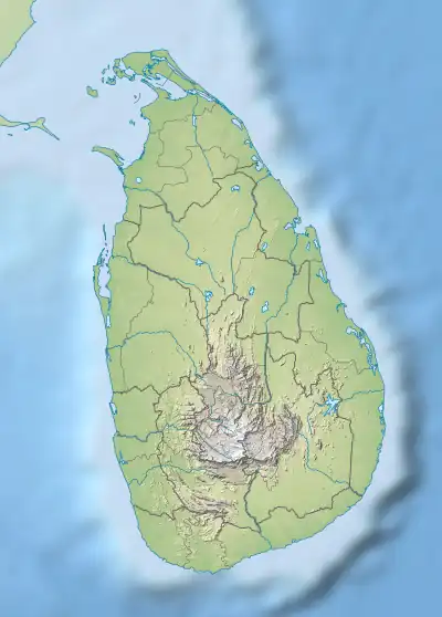
 ACJ Location of airport in Sri Lanka | |||||||||||
| Runways | |||||||||||
| |||||||||||
Anuradhapura Airport (Sinhala: අනුරාධපුර ගුවන්තොටුපළ, romanized: Anurādhapura Guvantoṭupaḷa; Tamil: அனுராதபுரம் விமான நிலையம், romanized: Aṉurātapuram Vimāṉa Nilaiyam; IATA: ACJ[1], ICAO: VCCA) is a domestic airport serving Anuradhapura in Sri Lanka.[2] It is also a military airbase known as Sri Lanka Air Force Base Anuradhapura or SLAF Base Anuradhapura.[3]
The airport is located 4.6 kilometres (2.9 mi) southeast of the town of Anuradhapura [2] at an elevation of 99 metres (325 ft). It has one bitumen 1,630 by 46 metres (5,348 ft × 151 ft) runway designated 05/23.[2]
Airlines and destinations
| Airlines | Destinations |
|---|---|
| Air Senok | Charter: Colombo–Ratmalana |
| FitsAir | Charter: Colombo–Ratmalana |
| Helitours | Charter: Colombo–Ratmalana |
Lodger Squadrons
See also
- Nissanka Wijeyeratne (In 1960 Government Agent of Anuradhapura District at the time he is responsible for the establishment of Anuradhapura Airport)
References
- ↑ "Airline and Airport Code Search (ACJ: Anuradhapura)". International Air Transport Association (IATA). Retrieved 6 October 2012.
- 1 2 3 "VCCA – Anuradhapura". AIP Sri Lanka. Aeronautical Information Services of the Airport & Aviation Services (Sri Lanka) Ltd. 23 March 2015. Archived from the original on 24 January 2016. Retrieved 25 January 2016.
- ↑ "Sri Lanka Air Force Base Anuradhapura". AirForce.lk. Sri Lanka Air Force. Archived from the original on 2016-01-26.
External links
- "Sri Lanka Air Force Base Anuradhapura". Archived from the original on 2009-04-13. Retrieved 2016-01-25.
This article is issued from Wikipedia. The text is licensed under Creative Commons - Attribution - Sharealike. Additional terms may apply for the media files.