Ardagger | |
|---|---|
 Coat of arms | |
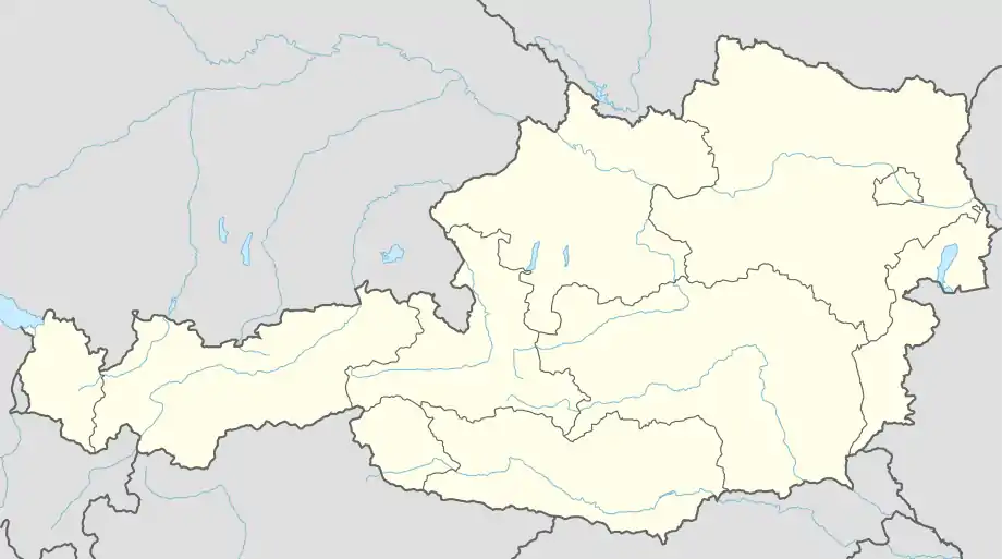 Ardagger Location within Austria | |
| Coordinates: 48°10′N 14°49′E / 48.167°N 14.817°E | |
| Country | Austria |
| State | Lower Austria |
| District | Amstetten |
| Government | |
| • Mayor | Johannes Pressl |
| Area | |
| • Total | 47.16 km2 (18.21 sq mi) |
| Elevation | 250 m (820 ft) |
| Population (2018-01-01)[2] | |
| • Total | 3,511 |
| • Density | 74/km2 (190/sq mi) |
| Time zone | UTC+1 (CET) |
| • Summer (DST) | UTC+2 (CEST) |
| Postal code | 3321 |
| Area code | 07479 |
| Website | www.ardagger.gv.at |
Ardagger is a town in the district of Amstetten in Lower Austria in Austria.
Geography
Ardagger lies in southwest Lower Austria, between the Danube and the hills of the Mostviertel.
The municipality of Ardagger is divided into these cadastral communities (population as of January 1st, 2022):[3]
- Ardagger Markt
- Ardagger Stift
- Kollmitzberg
- Stephanshart
.JPG.webp)
Parish church of Ardagger Markt
References
- ↑ "Dauersiedlungsraum der Gemeinden Politischen Bezirke und Bundesländer - Gebietsstand 1.1.2018". Statistics Austria. Retrieved 10 March 2019.
- ↑ Population at the beginning of the year for municipalities since 2002 (in German), Statistics Austria, January 2023, Wikidata Q27838750
- ↑ Bevoelkerung am 1.1.2022 nach Katastralgemeinden, Statistics Austria. Retrieved 16 July 2022.
Neighboring municipalities | |
|---|---|
This article is issued from Wikipedia. The text is licensed under Creative Commons - Attribution - Sharealike. Additional terms may apply for the media files.