Areka
| |
|---|---|
City | |
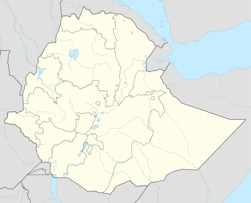
 Areka Map showing Areka in Ethiopia | |
| Coordinates: 7°04′15.5″N 37°42′27.3″E / 7.070972°N 37.707583°E | |
| Country | |
| Region | |
| Zone | Wolaita |
| District | Boloso Sore |
| Government | |
| • Mayor | Demeke Dejene (Prosperity Party) |
| Elevation | 1,774 m (5,820 ft) |
| Population (2023) | |
| • Total | 88,346 |
| • Male | 42,561 |
| • Female | 45,785 |
| Time zone | UTC+3 (EAT) |
Areka (Ge'ez: አረካ) is a city in southern Ethiopia. Located in some 300 kilometres southwest of the capital, Addis Ababa. This town has a latitude and longitude of 7°4′N 37°42′E / 7.067°N 37.700°E and an elevation of 1774 meters above sea level. It is the administrative center of Boloso Sore woreda.
Areka is served by a sub-office of the Ethiopian postal service.[1] Areka was founded in 1959, and a primary school opened in the town in 1962.[2] The Ethiopian Institute of Agricultural Research opened a center in Areka in 1985 dedicated to improving the yield of enset.[3]
Demographics
Based on figures from the Central Statistical Agency in 2023, this town has an estimated total population of 88,346 of whom 42,561 are men and 45,785 are women.[4]
Climate
Areka features a tropical savanna climate (Köppen Aw) with average annual rainfall around 1,290 millimetres or 51 inches.
| Climate data for Areka | |||||||||||||
|---|---|---|---|---|---|---|---|---|---|---|---|---|---|
| Month | Jan | Feb | Mar | Apr | May | Jun | Jul | Aug | Sep | Oct | Nov | Dec | Year |
| Mean daily maximum °C (°F) | 29.9 (85.8) |
30.5 (86.9) |
30.0 (86.0) |
28.6 (83.5) |
27.6 (81.7) |
25.7 (78.3) |
23.7 (74.7) |
24.0 (75.2) |
26.2 (79.2) |
27.9 (82.2) |
29.3 (84.7) |
29.6 (85.3) |
27.8 (82.0) |
| Daily mean °C (°F) | 21.1 (70.0) |
22.0 (71.6) |
21.8 (71.2) |
21.3 (70.3) |
20.5 (68.9) |
19.5 (67.1) |
18.5 (65.3) |
18.6 (65.5) |
19.7 (67.5) |
20.1 (68.2) |
20.8 (69.4) |
20.5 (68.9) |
20.4 (68.7) |
| Mean daily minimum °C (°F) | 12.4 (54.3) |
13.5 (56.3) |
13.7 (56.7) |
14.0 (57.2) |
13.5 (56.3) |
13.4 (56.1) |
13.3 (55.9) |
13.2 (55.8) |
13.3 (55.9) |
12.4 (54.3) |
12.3 (54.1) |
11.5 (52.7) |
13.0 (55.5) |
| Average rainfall mm (inches) | 36 (1.4) |
44 (1.7) |
103 (4.1) |
126 (5.0) |
150 (5.9) |
146 (5.7) |
200 (7.9) |
187 (7.4) |
142 (5.6) |
95 (3.7) |
41 (1.6) |
20 (0.8) |
1,290 (50.8) |
| Source: Climate-data.org | |||||||||||||
Notes
- ↑ "Local History of Ethiopia" Nordic Africa Institute website (accessed 22 April 2022)
- ↑ "Ethiopian Village Studies: Gara Godo" Archived 2009-12-20 at the Wayback Machine, Centre for the Study of African Economies, p. 3 (accessed 11 August 2009)
- ↑ "Research Centers". EARI. Archived from the original on April 23, 2009. Retrieved 30 April 2009.
- ↑ "Population size of towns by sex as of July 2023" (PDF). www.statsethiopia.gov.et.