| Aroona Caloundra, Queensland | |||||||||||||||
|---|---|---|---|---|---|---|---|---|---|---|---|---|---|---|---|
 Aroona | |||||||||||||||
| Coordinates | 26°46′59″S 153°07′01″E / 26.7830°S 153.1169°E | ||||||||||||||
| Population | 3,287 (2016 census)[1] | ||||||||||||||
| • Density | 1,730/km2 (4,480/sq mi) | ||||||||||||||
| Postcode(s) | 4551 | ||||||||||||||
| Area | 1.9 km2 (0.7 sq mi) | ||||||||||||||
| Time zone | AEST (UTC+10:00) | ||||||||||||||
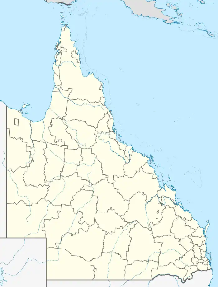
| Location |
| ||||||||||||||
| LGA(s) | Sunshine Coast Region | ||||||||||||||
| County | Canning | ||||||||||||||
| Parish | Bribie | ||||||||||||||
| State electorate(s) | Kawana | ||||||||||||||
| Federal division(s) | Fisher | ||||||||||||||
| |||||||||||||||
Aroona is a suburb of Caloundra in the Sunshine Coast Region, Queensland, Australia.[2] In the 2016 census, Aroona had a population of 3,287 people.[1]
Geography
Aroona is located within the urban centre 4.4 kilometres (3 mi) north of Caloundra.[3]
History
Aroona is an Aboriginal word meaning "place of refreshing" or "place of running water".[2]
In the 2016 census, Aroona recorded a population of 3,287 people, 50.2% female and 49.8% male.[1] The median age of the Aroona population was 43 years, 5 years above the national median of 38, with 79% of people born in Australia. The other top responses for country of birth were England 5.6%, New Zealand 4.4%, Scotland 0.7%, South Africa 0.6% and Netherlands 0.5%. 93.5% of people spoke only English at home; the next most common languages were 0.5% German, 0.3% Dutch, 0.3% Swedish, 0.3% Italian, 0.2% Dari.[1]
Education
There are no schools in Aroona. The nearest primary schools are in neighbouring Currimundi, Caloundra and Meridan Plains. The nearest secondary schools are in Caloundra and Meridan Plains.[4]
Facilities
Sugarbag Road Reservoir is a water treatment plant (26°47′05″S 153°06′54″E / 26.7848°S 153.1150°E).[5]
Amenities
There are a number of parks in Aroona:
- Aroona Park (26°46′54″S 153°07′06″E / 26.7816°S 153.1184°E)[6]
- Bapaume Park (26°46′47″S 153°07′29″E / 26.7796°S 153.1247°E)[6]
- Juno Park (26°46′52″S 153°07′22″E / 26.7812°S 153.1229°E)[6]
- Kalana Park (26°46′44″S 153°07′33″E / 26.7790°S 153.1257°E)[6]
- Kalana Road Buffer (17°51′00″S 102°04′25″E / 17.8499°S 102.0736°E)[6]
- Kestrel Park (26°47′20″S 153°07′16″E / 26.7889°S 153.1212°E)[6]
- Michael Olm Park (26°46′37″S 153°06′46″E / 26.7769°S 153.1127°E)[6]
- Nicklin Way Buffer 7 (26°46′57″S 153°07′25″E / 26.7826°S 153.1235°E)[6]
- Ocean Ridge Park (17°51′24″S 102°04′54″E / 17.8568°S 102.0818°E)[6]
- Ridgehaven Natural Amenity Reserve (26°46′45″S 153°06′35″E / 26.7792°S 153.1097°E)[6]
- Ridgehaven Park (26°46′35″S 153°06′59″E / 26.7764°S 153.1163°E)[6]
- Rothfall Chase Reserve (26°46′32″S 153°06′35″E / 26.7756°S 153.1098°E)[6]
- Sharyn Bonney Bushland Reserve (17°51′32″S 102°05′03″E / 17.8588°S 102.0843°E)[6]
References
- 1 2 3 4 Australian Bureau of Statistics (27 June 2017). "Aroona (SSC)". 2016 Census QuickStats. Retrieved 20 October 2018.
- 1 2 "Aroona (entry 47155)". Queensland Place Names. Queensland Government. Retrieved 18 March 2014.
- ↑ Google (11 August 2022). "Caloundra to Aroona" (Map). Google Maps. Google. Retrieved 11 August 2022.
- ↑ "Queensland Globe". State of Queensland. Retrieved 29 February 2020.
- ↑ "Landmark Areas – Queensland". Queensland Open Data. Queensland Government. 18 November 2020. Archived from the original on 21 November 2020. Retrieved 21 October 2020.
- 1 2 3 4 5 6 7 8 9 10 11 12 13 "Land for public recreation – Queensland". Queensland Open Data. Queensland Government. 20 November 2020. Archived from the original on 22 November 2020. Retrieved 22 November 2020.