Ashley, Missouri | |
|---|---|
| Coordinates: 39°15′13″N 91°13′26″W / 39.25361°N 91.22389°W | |
| Country | United States |
| State | Missouri |
| County | Pike |
| Area | |
| • Total | 1.32 sq mi (3.43 km2) |
| • Land | 1.32 sq mi (3.41 km2) |
| • Water | 0.01 sq mi (0.02 km2) |
| Elevation | 738 ft (225 m) |
| Population (2020) | |
| • Total | 94 |
| • Density | 71.32/sq mi (27.53/km2) |
| FIPS code | 29-02260 |
| GNIS feature ID | 2587051[2] |
Ashley is a census-designated place in Pike County, Missouri, United States.[2] It is located on Route 161, approximately six miles south of Bowling Green.[3]
Ashley was platted in 1836.[4] The community was named for William Henry Ashley, who served as lieutenant governor in the 1820s.[5] A post office called Ashley was established in 1835, and remained in operation until 1965.[6]
Demographics
| Census | Pop. | Note | %± |
|---|---|---|---|
| 2020 | 94 | — | |
| U.S. Decennial Census[7] | |||
Transportation
While there is no fixed-route transit service in Ashley, intercity bus service is provided by Burlington Trailways in nearby Bowling Green.[8]
References
- ↑ "ArcGIS REST Services Directory". United States Census Bureau. Retrieved September 5, 2022.
- 1 2 3 U.S. Geological Survey Geographic Names Information System: Ashley, Missouri
- ↑ Missouri Atlas & Gazetteer, DeLorme, First ed. 1998 p. 32 ISBN 0899332242
- ↑ "Pike County Place Names, 1928–1945". The State Historical Society of Missouri. Archived from the original on June 24, 2016. Retrieved December 7, 2016.
- ↑ Eaton, David Wolfe (1917). How Missouri Counties, Towns and Streams Were Named. The State Historical Society of Missouri. pp. 341.
- ↑ "Post Offices". Jim Forte Postal History. Retrieved 7 December 2016.
- ↑ "Census of Population and Housing". Census.gov. Retrieved June 4, 2016.
- ↑ "Missouri Bus Stops". Retrieved September 28, 2023.
Municipalities and communities of Pike County, Missouri, United States | ||
|---|---|---|
| Cities | 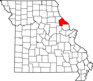 Map of Missouri highlighting Pike County | |
| Villages | ||
| Townships | ||
| CDPs | ||
| Unincorporated communities | ||
| Ghost towns | ||
This article is issued from Wikipedia. The text is licensed under Creative Commons - Attribution - Sharealike. Additional terms may apply for the media files.