Atbara Airport | |||||||||||
|---|---|---|---|---|---|---|---|---|---|---|---|
| Summary | |||||||||||
| Airport type | Public | ||||||||||
| Serves | Atbara, Sudan | ||||||||||
| Elevation AMSL | 1,198 ft / 365 m | ||||||||||
| Coordinates | 17°42′35″N 34°03′25″E / 17.70972°N 34.05694°E | ||||||||||
| Map | |||||||||||
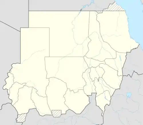 Atbara Airport Location of airport in Sudan | |||||||||||
| Runways | |||||||||||
| |||||||||||
Source: Great Circle Mapper[1] | |||||||||||
Atbara Airport (IATA: ATB, ICAO: HSAT) is an airport serving Atbarah (or Atbara),[1] a town located in the River Nile state in northeastern Sudan.
Facilities
The airport resides at an elevation of 1,181 feet (360 m) above mean sea level. It has one runway which measures 1,800 by 40 metres (5,906 ft × 131 ft).[1]
References
- 1 2 3 Airport information for Atbara, Sudan (HSAT / ATB) at Great Circle Mapper.
External links
This article is issued from Wikipedia. The text is licensed under Creative Commons - Attribution - Sharealike. Additional terms may apply for the media files.