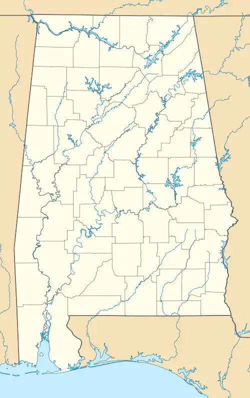
Audubon Place Historic District | |
 | |
| Location | 1515-1707 (odd) University Blvd. & #8-37 Audubon Pl., Tuscaloosa, Alabama |
|---|---|
| Coordinates | 33°12′38″N 87°33′32″W / 33.21056°N 87.55889°W |
| Area | 5.4 acres (2.2 ha) |
| Architectural style | Bungalow, English Cottage, Colonial Revival |
| NRHP reference No. | 85001517[1] |
| Added to NRHP | July 11, 1985 |
The Audubon Place Historic District, in Tuscaloosa, Alabama, is a 5.4 acres (2.2 ha) historic district which was listed on the National Register of Historic Places in 1985.[1]
It includes all 37 homes on Audubon Place, a curved cul-de-sac street entered off University Blvd. in Tuscaloosa, as well as five properties going further down University Blvd. Specifically it includes numbers 1515 to 1707 on the odd-numbered side of University Blvd., and numbers 8 to 37 on Audubon Place. Just 32 of the buildings are deemed contributing, however.[2] The entrance to the cul-de-sac is marked by "two massive concrete aggregate piers" and the street gradually climbs upward from there.[2] The street forks, with the right fork going to a circular end, and the left exiting out onto a one-way street.[3]
The neighborhood was designed by landscape architect Samuel Parsons Jr. (1844-1923).[2] It was a development by developer Mims P. Jemison (c.1860-c.1915), "a prominent Tuscaloosa businessman who envisioned the subdivision as a haven for young middle class families, many of whom later achieved higher economic, professional and social status." The street was lined with oak trees planted by Mary Torrey Jemison.[2]
See also
- Caplewood Drive Historic District, a contemporary development, also NRHP-listed in Tuscaloosa
References
- 1 2 "National Register Information System". National Register of Historic Places. National Park Service. November 2, 2013.
- 1 2 3 4 Shirley D. Quails (January 30, 1985). "National Register of Historic Places Inventory/Nomination: Audubon Place / Audubon Place Historic District". National Park Service. Retrieved October 10, 2019. With accompanying 12 photos from 1984-85
- ↑ Per Google maps, accessed October 10, 2019.