| Bâsculița | |
|---|---|
 | |
| Location | |
| Country | Romania |
| Counties | Buzău County |
| Physical characteristics | |
| Source | Buzău Mountains |
| Mouth | Bâsca |
• coordinates | 45°34′44″N 26°21′02″E / 45.57889°N 26.35056°E |
• elevation | 809 m (2,654 ft) |
| Length | 11.5 km (7.1 mi) |
| Basin size | 40 km2 (15 sq mi) |
| Basin features | |
| Progression | Bâsca→ Buzău→ Siret→ Danube→ Black Sea |
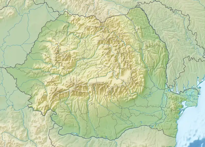
The Bâsculița is a left tributary of the river Bâsca in Romania.[1] Its source is in the Buzău Mountains, at the foot of the peak Ciulianoș. Its length is 11.5 km (7.1 mi) and its basin size is 40 km2 (15 sq mi).[2]
Tributaries
The following rivers are tributaries to the river Bâsculița (from source to mouth):
- Left: Tămășoiu, Corâiu, Porcu, Tisa, Izvorul lui Comișel, Izvorul cu Ulii, Izvorul Calului
- Right: Izvorul Gropii
References
- ↑ Atlasul cadastrului apelor din România. Partea 1 (in Romanian). Bucharest: Ministerul Mediului. 1992. p. 433. OCLC 895459847. River code: XII.1.82.15.9
- ↑ G. Minea (2013). "Assessment of the Flash Flood Potential of Bâsca River Catchment (Romania) Based on Physiographic Factors" (PDF). Cent. Eur. J. Geosci. 5 (3): 347.
This article is issued from Wikipedia. The text is licensed under Creative Commons - Attribution - Sharealike. Additional terms may apply for the media files.