| Badshot Range | |
|---|---|
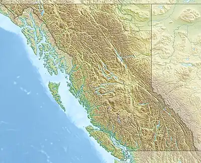 Location in SE British Columbia | |
| Highest point | |
| Peak | Mount Templeman |
| Elevation | 3,074 m (10,085 ft)[1] |
| Coordinates | 50°41′23″N 117°12′18″W / 50.68972°N 117.20500°W[2] |
| Dimensions | |
| Area | 1,537 km2 (593 sq mi)[3] |
| Geography | |
| Country | Canada |
| Province | British Columbia |
| Range coordinates | 50°39′59″N 117°20′04″W / 50.66639°N 117.33444°W[4] |
| Parent range | Duncan Ranges |
The Badshot Range is a subrange of the Duncan Ranges of the Selkirk Mountains of the Columbia Mountains in southeastern British Columbia, Canada, located west of Duncan Lake and Westfall River east of Trout Lake.
Peaks of this range include:[5]
| Mountain/Peak | metres | feet |
|---|---|---|
| Mount Templeman | 3,074 | 10,085 |
| Mount Abbot Peak | 2,961 | 9,715 |
| Mount Pool | 2,868 | 9,409 |
| Mount Jowett | 2,865 | 9,400 |
| Mount Hillman | 2,861 | 9,386 |
| Spine Mountain | 2,851 | 9,354 |
| Similarity Mountain | 2,848 | 9,344 |
| Fays Peak | 2,826 | 9,272 |
| Razors Edge | 2,815 | 9,236 |
| Goat Tower | 2,815 | 9,236 |
References
- ↑ "Mount Templeman". Peakbagger.com. Retrieved 2021-07-25.
- ↑ "Mount Templeman". Geographical Names Data Base. Natural Resources Canada. Retrieved 2021-07-25.
- ↑ "Badshot Range". Bivouac.com. Retrieved 2021-07-25.
- ↑ "Badshot Range". BC Geographical Names. Retrieved 2021-07-25.
- ↑ "Badshot Range". Peakbagger.com. Retrieved 2021-07-25.
This article is issued from Wikipedia. The text is licensed under Creative Commons - Attribution - Sharealike. Additional terms may apply for the media files.