Bajie Subdistrict | |
|---|---|
| Chinese transcription(s) | |
| • Simplified | 八街街道 |
| • Traditional | 八街街道 |
| • Pinyin | Bājiē Jiēdào |
 | |
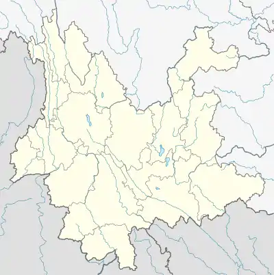
 Bajie Location in Yunnan province | |
| Coordinates: 24°39′58″N 102°21′33″E / 24.66611°N 102.35917°E | |
| Country | China |
| Province | Yunnan |
| Prefecture-level city | Kunming |
| County-level city | Anning City |
| Area | |
| • Total | 344.18 km2 (132.89 sq mi) |
| Population (2010) | |
| • Total | 38,442 |
| • Density | 110/km2 (290/sq mi) |
| Time zone | UTC+8 (China Standard) |
| Postal code | 650305 |
| Area code | 0871 |
Bajie Subdistrict (Chinese: 八街街道; pinyin: Bājiē Jiēdào) is a subdistrict situated in southern Anning City, Yunnan province, southwestern China. It lies about 38 km west of Anning City, situated on the west bank of the Mingyi River. Formerly a town, its status changed to a subdistrict of Anning in 2011.[1]
References
- ↑ 安宁全域撤镇设街道办事处 (in Chinese). 云南经济日报. 19 April 2011. Archived from the original on 29 March 2017. Retrieved 27 September 2011.
This article is issued from Wikipedia. The text is licensed under Creative Commons - Attribution - Sharealike. Additional terms may apply for the media files.